
We started tracked our drive from US163, south of Bluff, UT, on Comb Wash Road. Where A is is Snow Flats Road, B is UT261 north of Mexican Hat, UT, C is UT95, and D is Comb Wash Road.
The road was is good condition and before some heavy rain that we eventually get that turn the roads and washes to impassible in places.
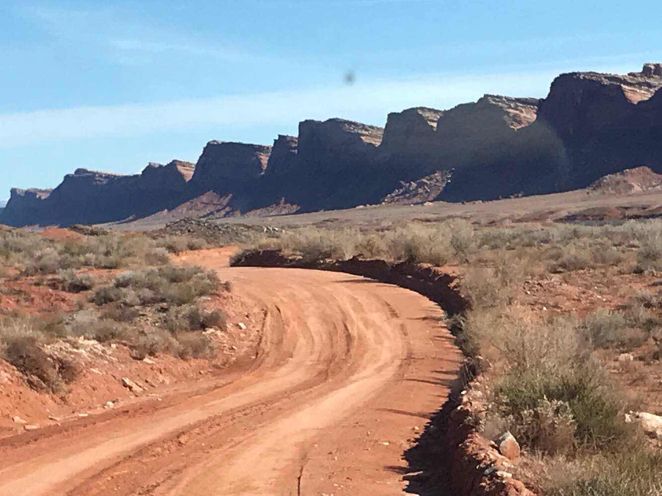
It’s a good picture of Comb Ridge and the canyons between the comb teeth.

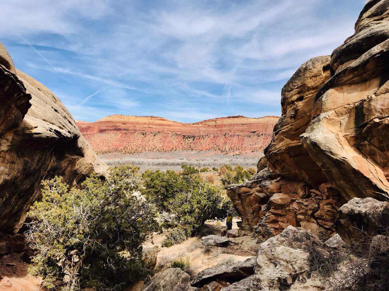
We start heading up on Snow Flats Road and we met a guy and his dog camping in a Tacoma with a cap on the back. We stopped for a hike to this canyon to find some ruins. They are there, but under the cliff we were on and we couldn’t get to them, or see them from where we were. They are only available via walking the many miles upbrge canyon.

Off in the distance to the northeast is the ever present La Salle Mountains near Monticello, UT
We start heading up on Snow Flats Road and we met a guy and his dog camping in a Tacoma with a cap on the back. We stopped for a hike to this canyon to find some ruins. They are there, but under the cliff we were on and we couldn’t get to them, or see them from where we were. They are only available via walking the many miles upbrge canyon.
Off in the distance to the northeast is the ever present La Salle Mountains near Monticello, UT
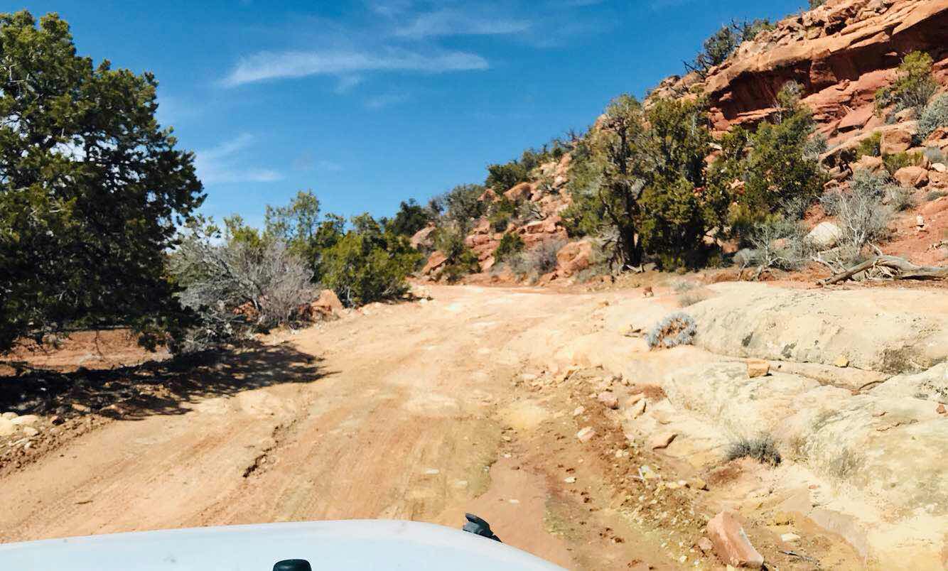
At this section we were driving over ledge and had to go very slow due to bumps.

Off to the north is Bears Ears Mountains, and the name of the area that we are touring.
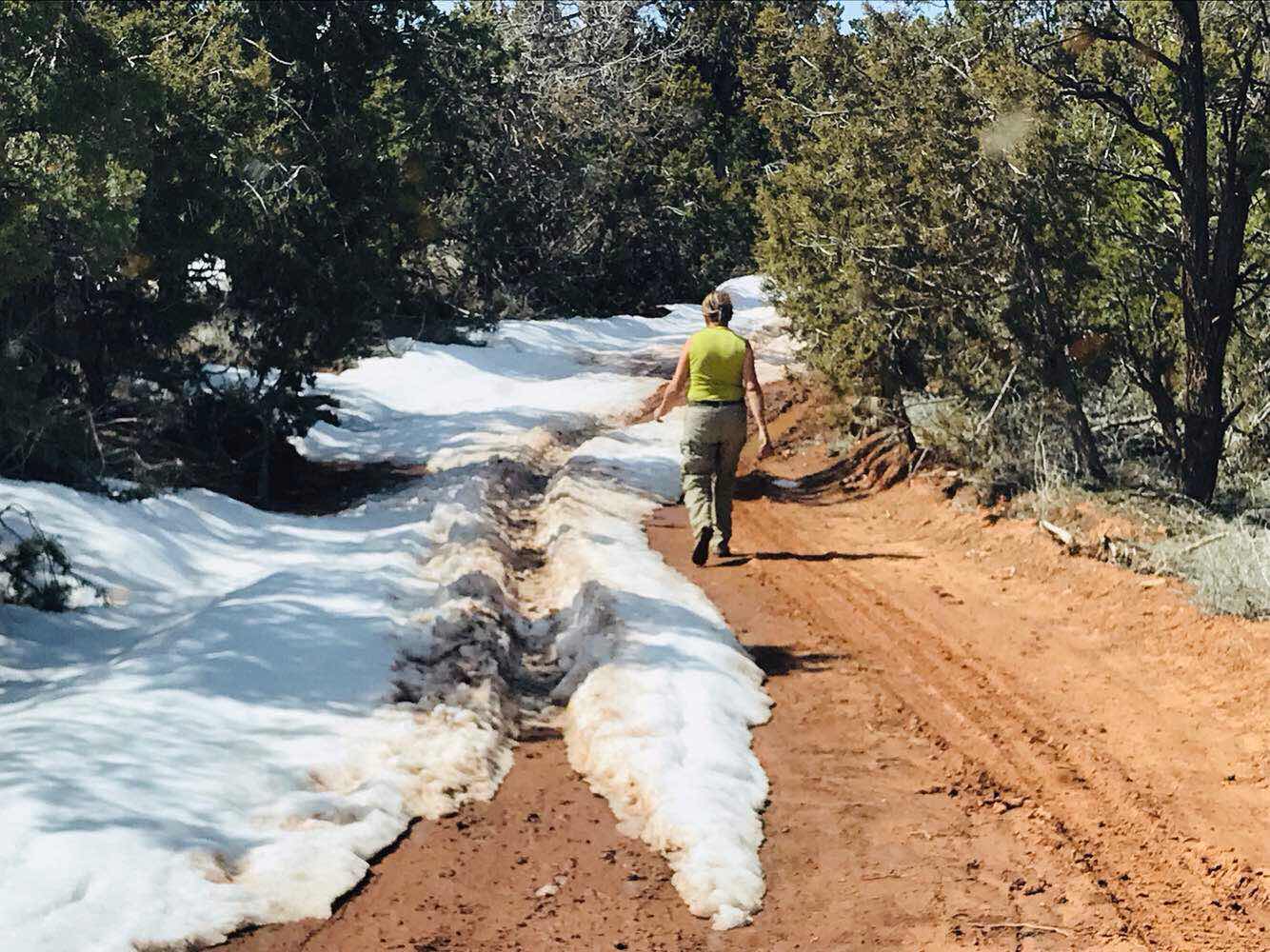
Eventually we climbed to about 7,000 ft elevation and ran into snow on the road from a very wet snowy winter in Utah. Joanne gets out to check if she can get through. Yea. We can but not without slipping and sliding all the way to the highway 5 miles ahead.
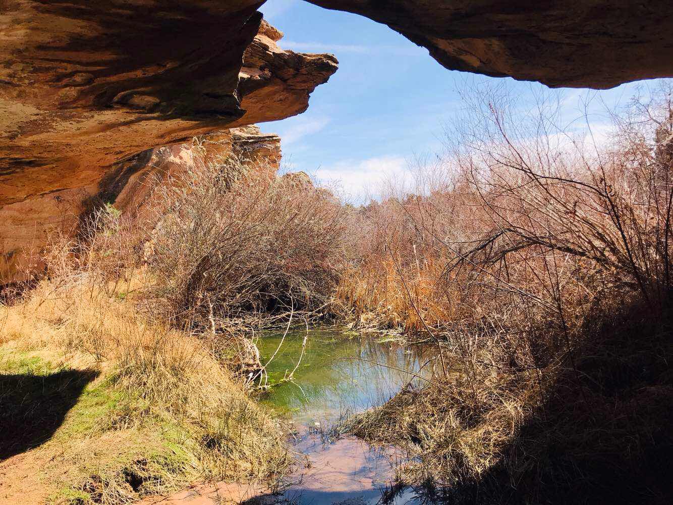
After we get on UT261 headed north we turned east on UT95 and stopped at ruins that were built on the canyon rim. There is no sign off of UT95 marking them, so you have to research to find them and know what road and gate to enter. Above is a spring under the canyon rim with ruins in the shape of towers on either side.
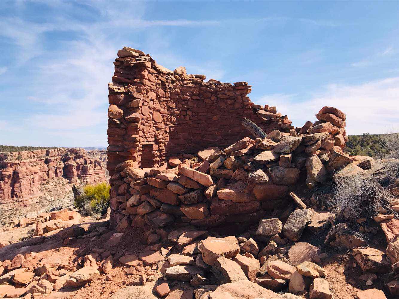
Above is an example of a tower on the canyon rim.
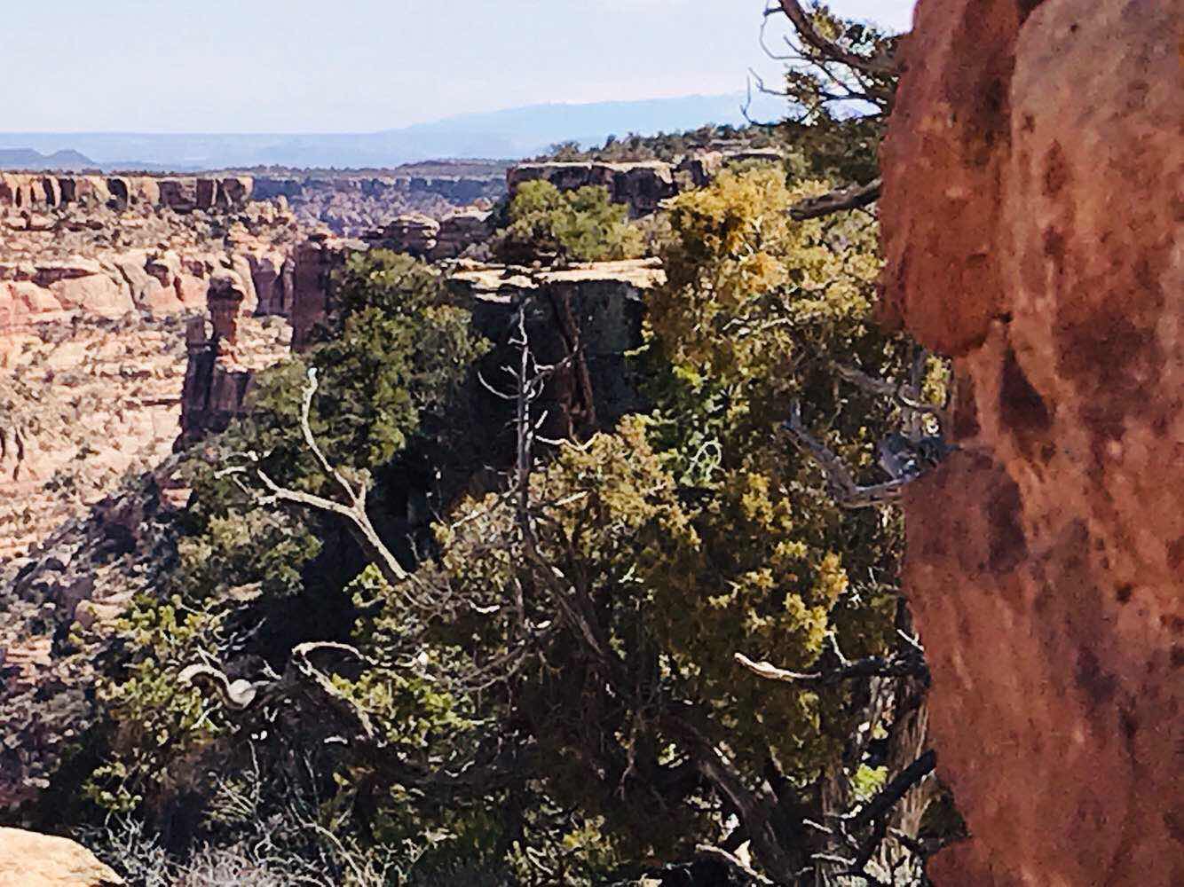
This picture shows the view from the ruin on the canyon rim. I never get tired of the views.

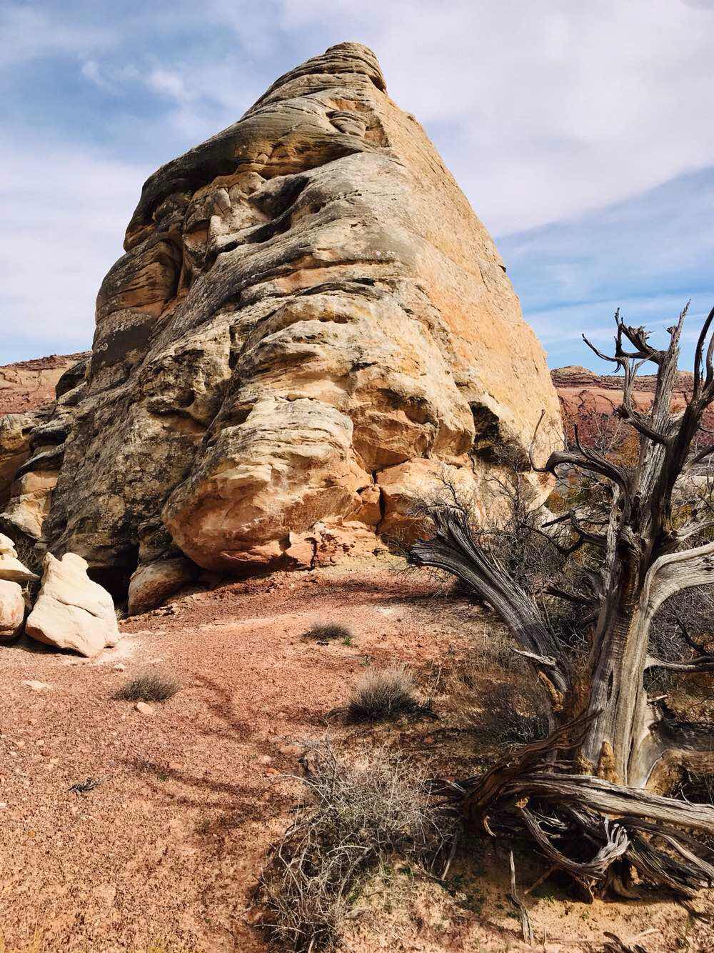
Next we turned south off UT95 onto Comb Wash Road and get out and hike again to some more unmarked ruins.
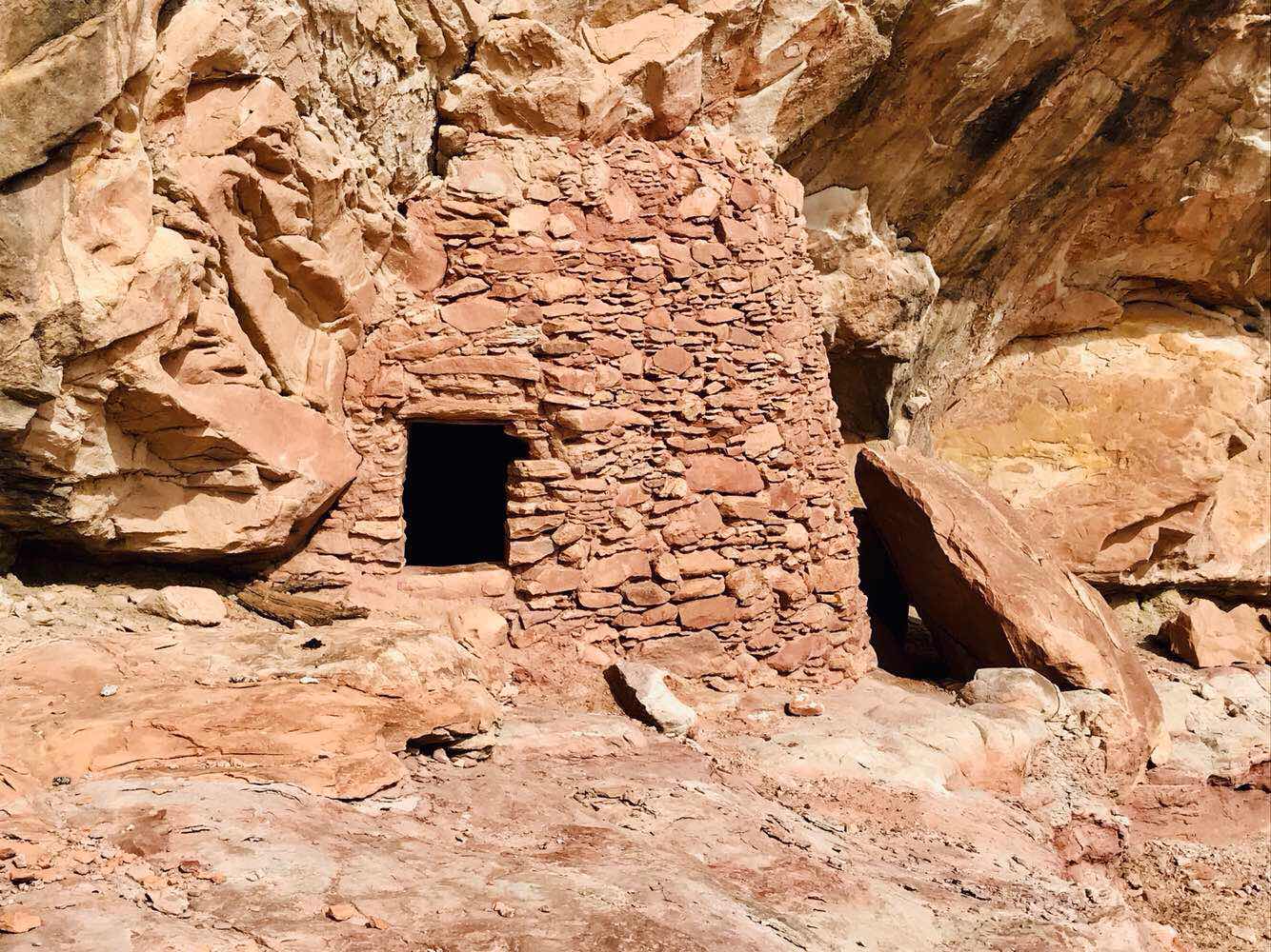
It’s not a big ruin but worth the relatively short hike to check it out, and enjoy the scenery and rock formations at the same time.
The rock coloring here is so nice.
This is a picture looking east at Comb Ridge from the ruins, with the side of Comb Ridge with the cliff to Comb Wash. On the other side of Comb Ridge is Butler Wash and the hikes between the comb teeth.
Another colored rock picture. I like the way the dead tree accents the picture.
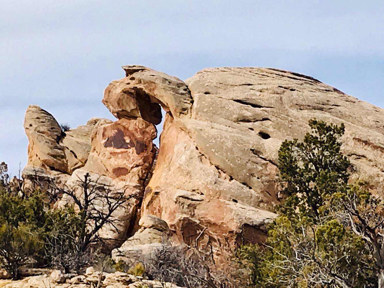
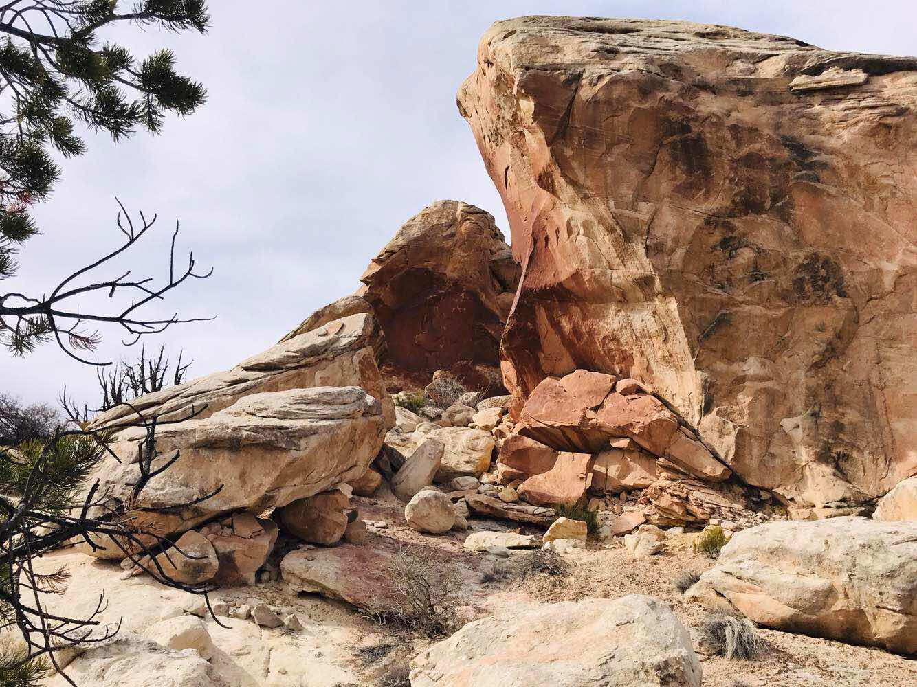
Not only do we have interesting colors but rock shapes too.

I haven shown many flowers this year but there are some beautiful ones out here, but few and far between.

There are so many interesting 360 degree views.
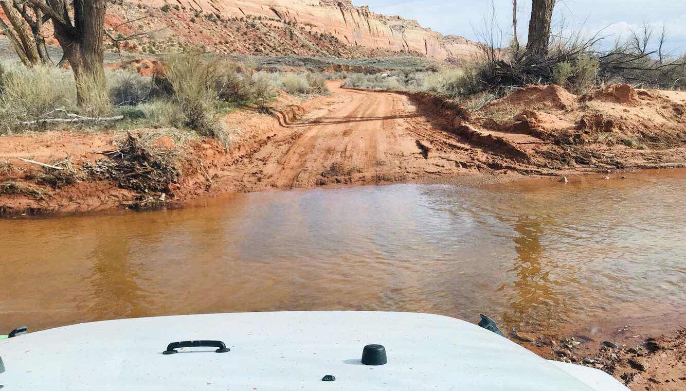
Our first water crossing in Comb Wash. The approach is not bad at all.

Another view of Comb Ridge from this side. The ground cover is greening up nicely. The color contrast adds a lot of depth to the picture.
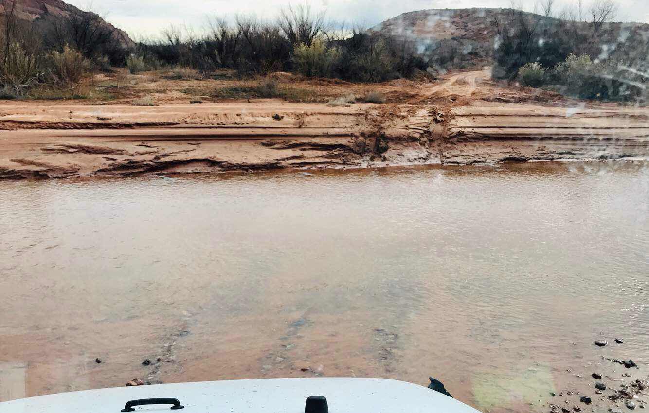
Our second water crossing on Comb Wash. This one is wider and steeper.

Yea, that’s about a 3 foot drop in and out of the wash. Joanne walked in the water to check that the base was hard enough and it wasn’t too deep.
Joanne takes the water crossing in the Jeep with 4x4 low range, and when she gets to the other side to climb out, she doesn’t stop when starting to climb.
We made the big loop!
It was fun, exciting at times, challenging, and a beautiful day exploring.
Another big thank you to Joanne for sharing the Jeep travels.
Brent
macaloney@hotmail.com
No comments:
Post a Comment