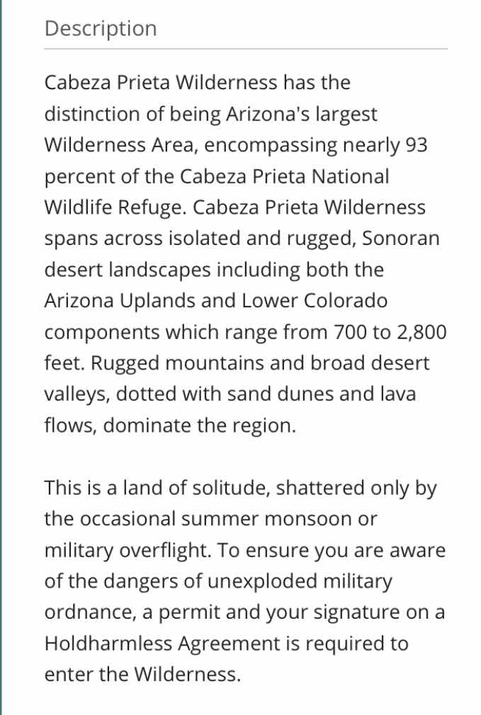
Photo of wilderness area brochure
——————-
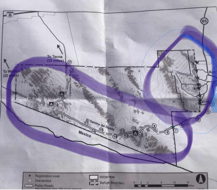
- The El Camino Del Diablo Road and Trail is the larger area to tour and Boondocking is allowed with conditions.
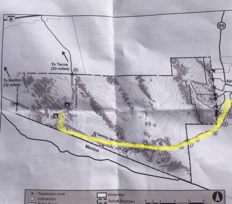
See yellow line below - this is the first of two trips into this larger wilderness. Today was a long day in and out on the same road. This totaled a 144 mile day.
Photo of wilderness area brochure
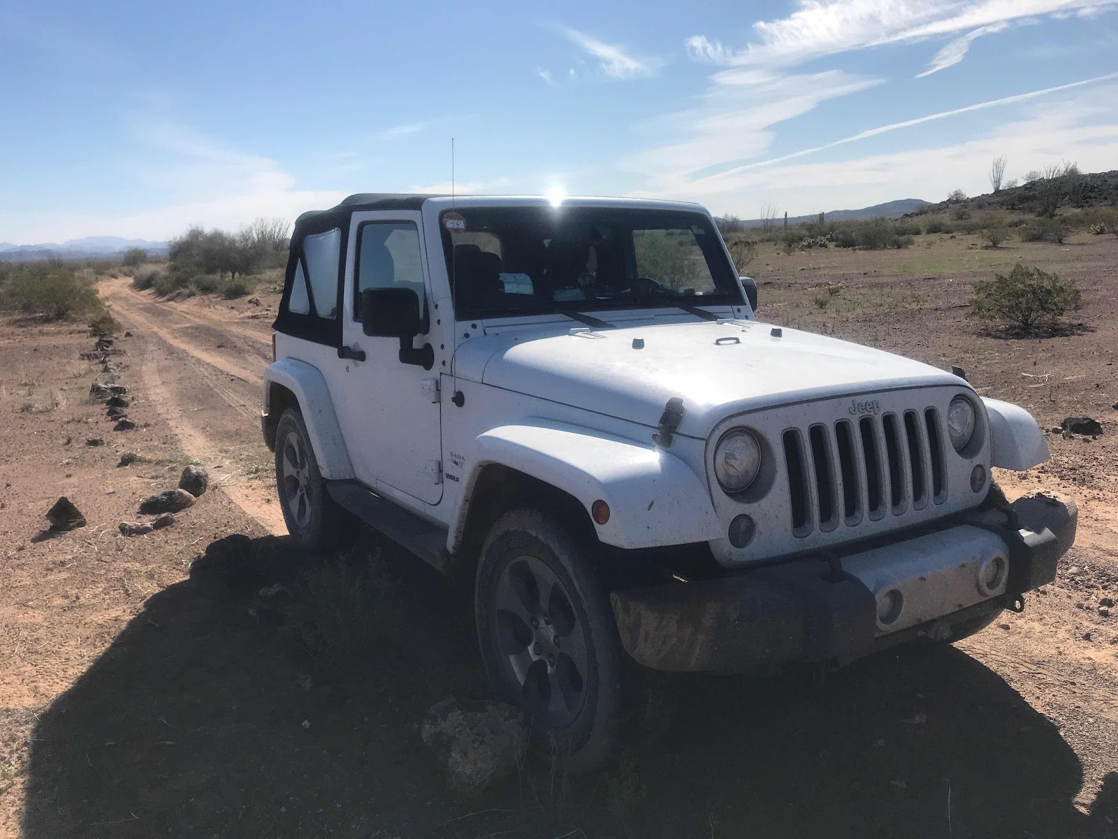
My Vandwelling friend Joanne got a Jeep for wilderness exploring. Without her wanting to explore, and invite me, I would not be doing all of this trip.
Even with my 4x4 truck camper Joanne can go places I can’t. Especially deep groves washes and the Jeep’s short wheelbase she can handle them with ease. My truck with longer wheelbase and longer angle of approach and departure would jam the nose in the ditch or hang up the rear end coming out and I would be stuck.
There are four of us that have done these wilderness travels, Joanne the driver, Cafe Joanne’s standard poodle, Susan, and me.
There is a lot of planning and checklists to prepare for and accomplish these travels. We are al in on being safe and having the right permits, and supplies.
We are a team.
Now to the yellow trip above:
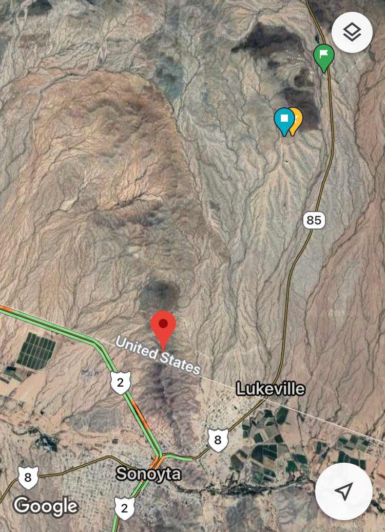
You drive through any miles of BLM land and Organ Pipe Cactus NP to get from Ajo, AZ to the entrance of the wilderness. This section of road is in general in good shape and I could have gone now my Prius this far, although I would have had to use caution in a few areas.
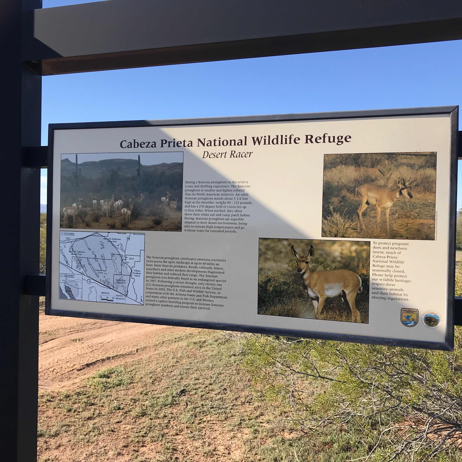
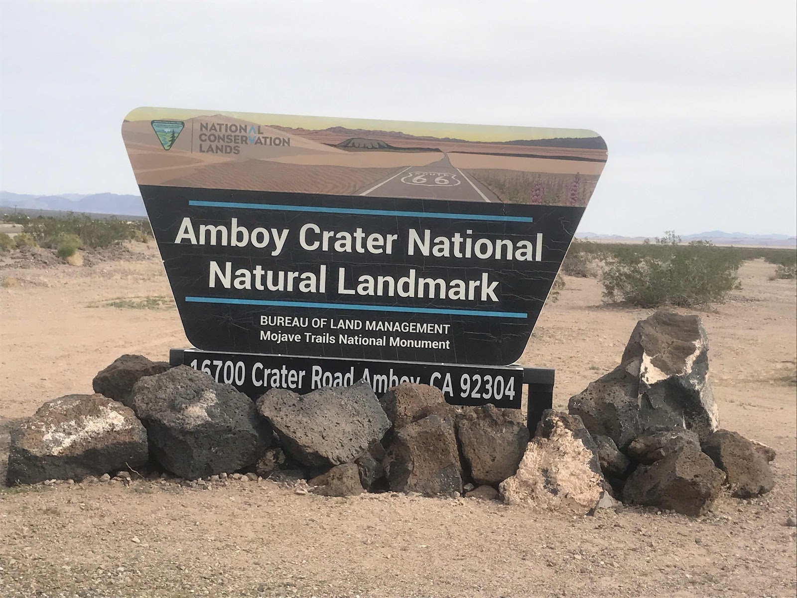
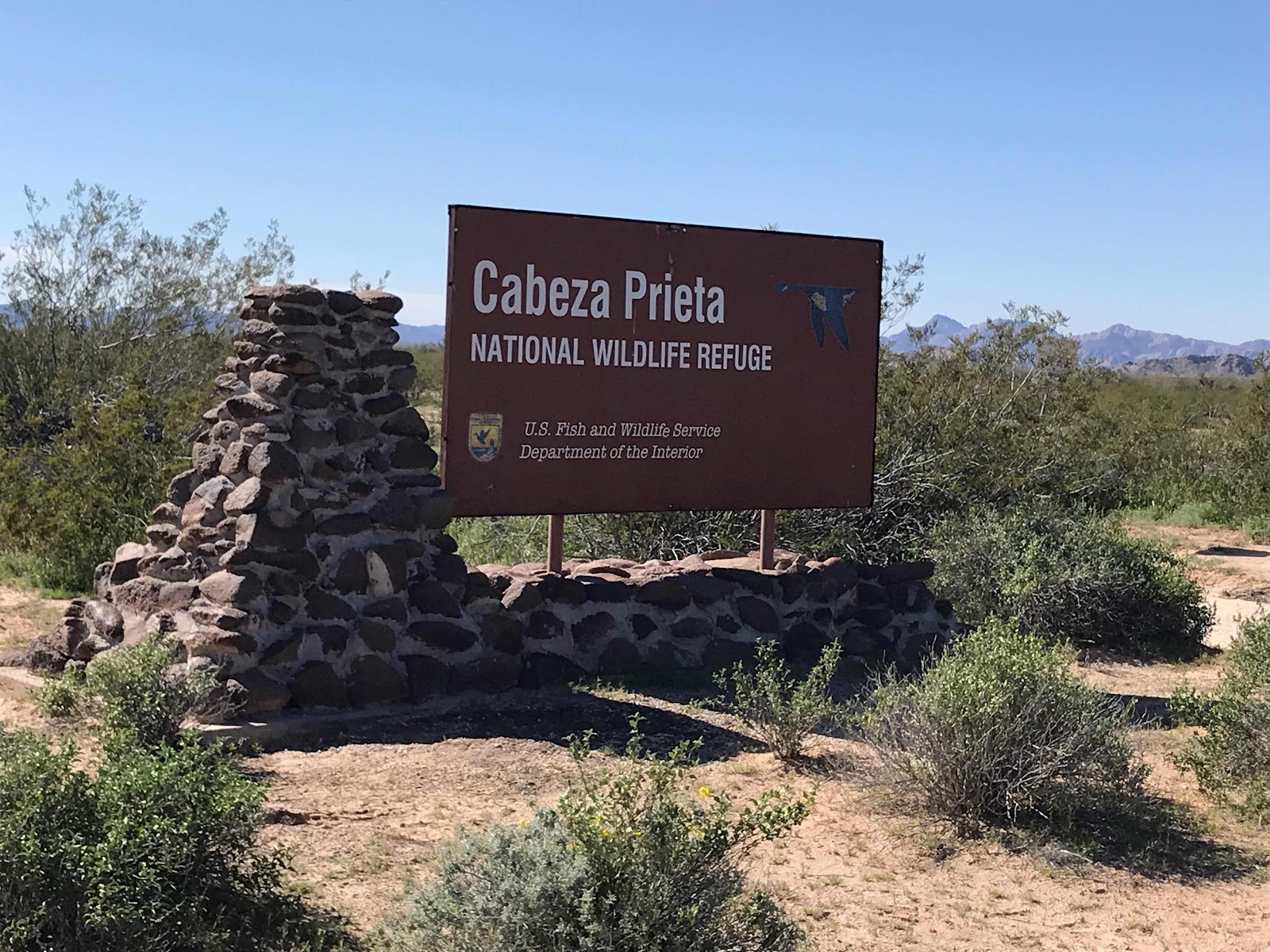
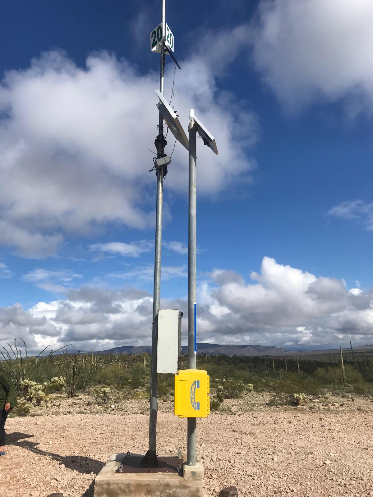
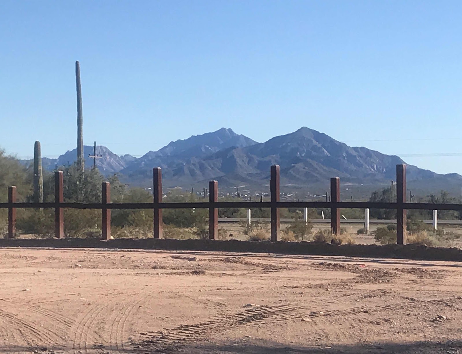
When we arrived at these signs at the entrance of the wilderness there is a process to log in that you are in the wilderness.

Above is the map of the wilderness area. The road from Ajo continues Southwest until we are just a few mikes from the Mexican border. We picked up Mexican cell service on our AT&T phones in places.
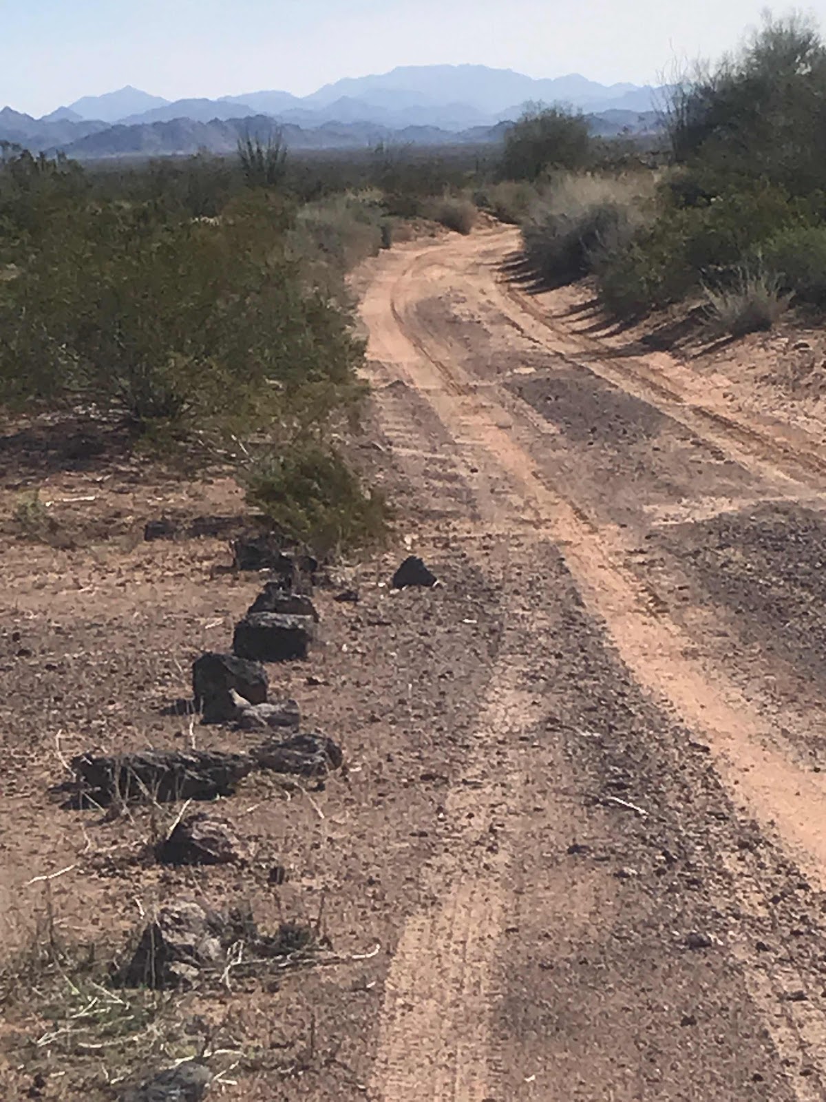
The sand hazard while we were there was minimal as most sand was pushed to sides, leaving the tire tracks packed sand. These conditions can change.
We were stopped by Wilderness law enforcement to check our permits today.

Above was all mud a few days ago when it rained heavily here while we were in Organ Pipe Cactus NP. We deliberately dragged our feet coming here wanting spots like this to dry up as much as possible.
Some ruts were 12 “ deep but Joanne did a great job riding the ridges and not slipping in.
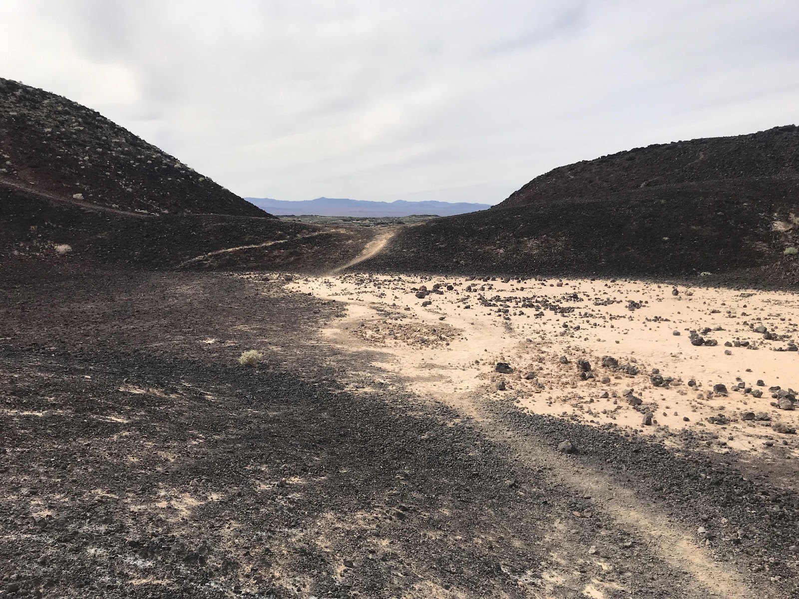
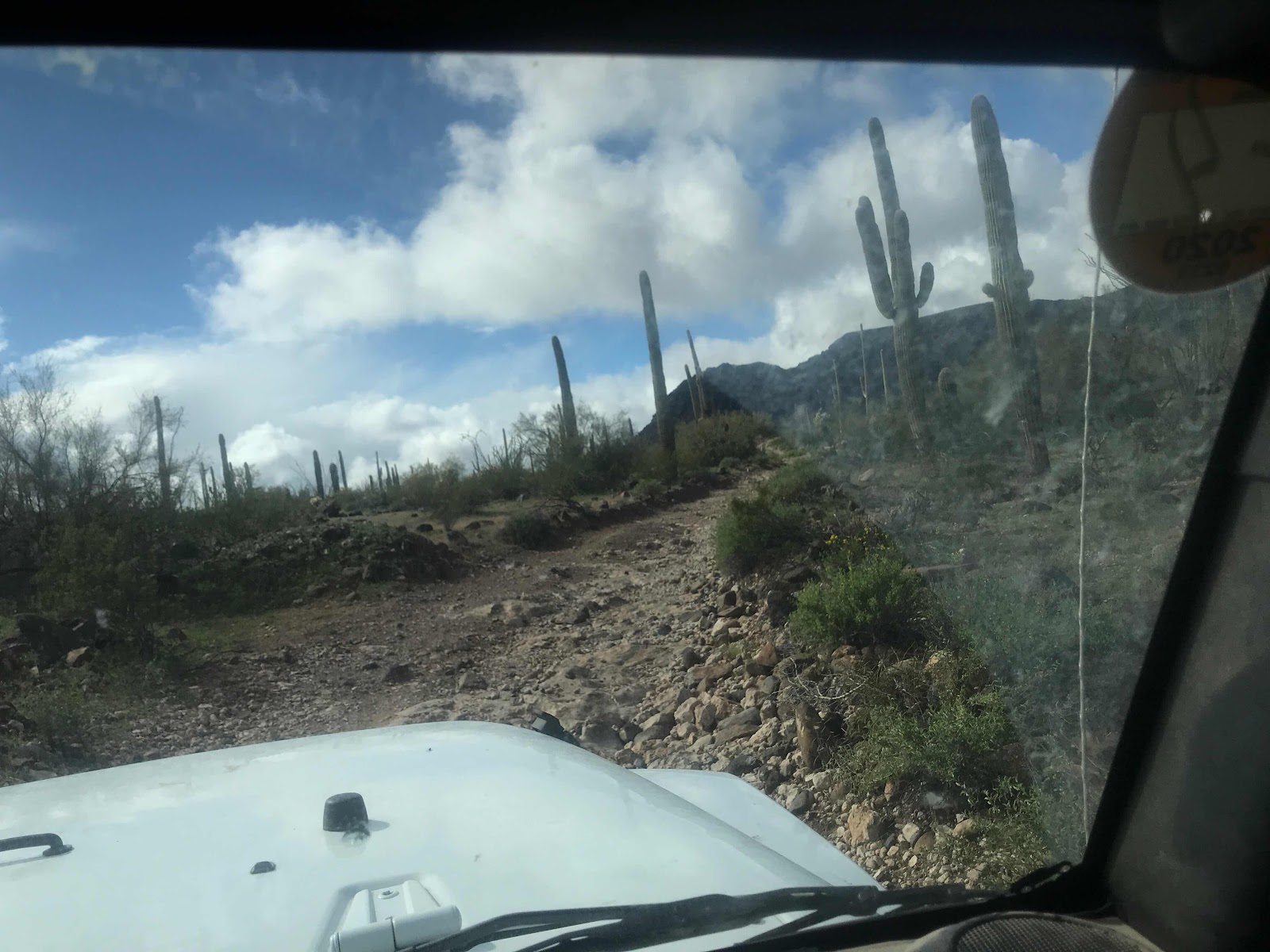
After this dry lake bed mud flat the road became very rocky in places wher lava flows exist.

Above is one of two remote Border Patrol Stations on our route this day. Even though you sign the waiver of liability to enter the wilderness to take full responsibility of seeking your own help, there are wilderness law enforcement patrols and Border Patrols that will be primarily on the roads. Also even through most of the travels are not covered by cell service if you have AT&T may get some Mexican cell service along the border for a few miles.
You are also responsible to get your vehicle out no matter the cost of recovery.
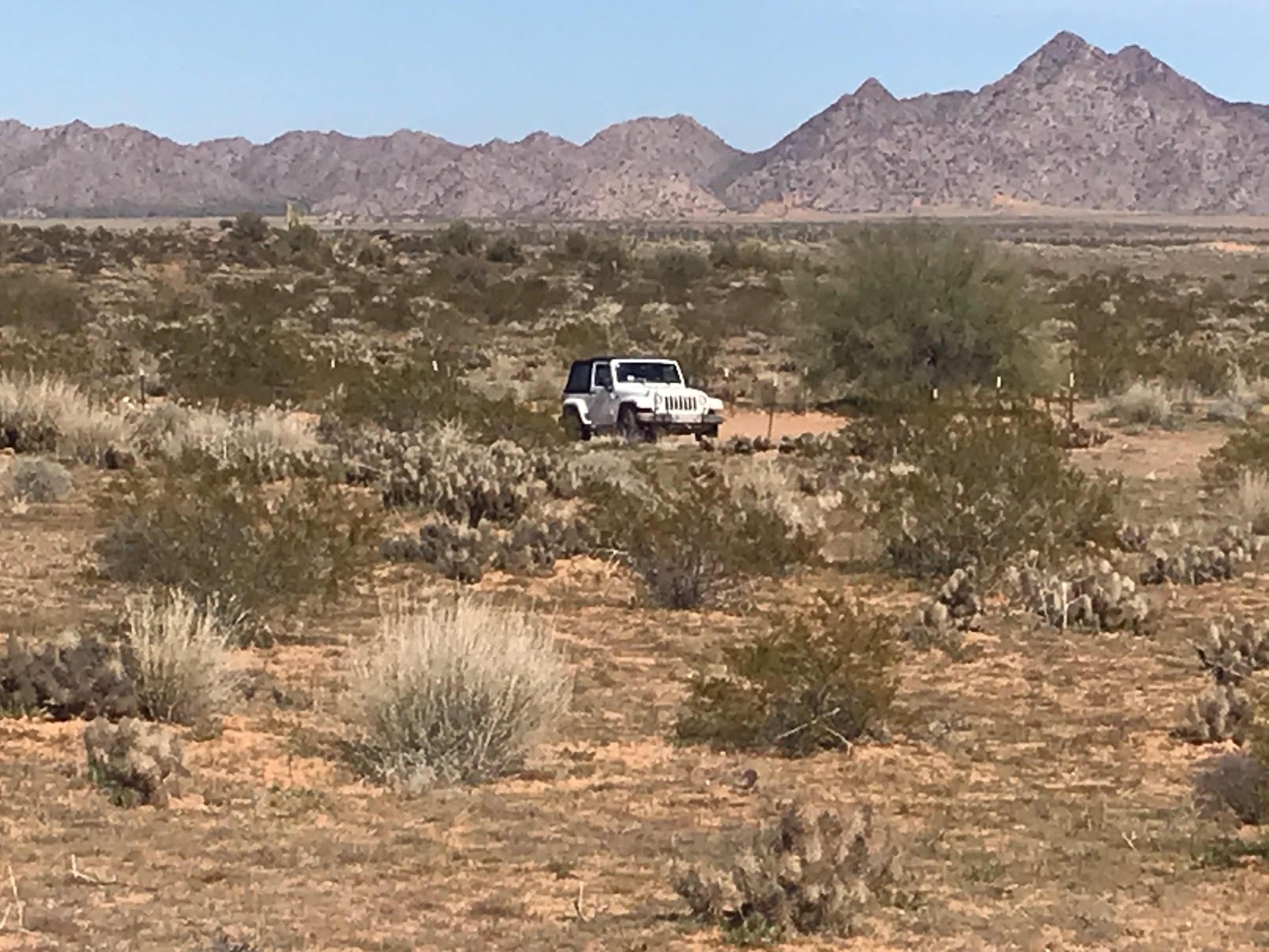
Here is Joanne’s Jeep as we look for grave site as this was a cross country route during the gold rush and not everyone made it.
——————-
The third day of wilderness travel depicted below in red travel, was longer than the first, taking about 8 hours of travel.

Photo of wilderness area brochure
We left Ajo for Gila Bend, then West in I8 to the town of Tacna on I8 and head across the the Barry Goldwater Range that requires a separate permit applied for online

To get to the remaining sections of the Cabreza Prieta and not repeat the previous days travel we decided to enter this way through the Barry Goldwater Range and exist back onto I8 to Ajo.

There are similar signs for the Barry Goldwater Range with warning and conditions of a permit.
I should tell you both permits require viewing an online video to learn that the Cabreza Prieta was a WW2 practice bombing range and live ordnance should be expected if you het off the road to hike. No touching as there is a risk of detonation.
Barry Goldwater Range’s video informs us that it is still used by the Marines for live firing of ammunition, so this access may be closed for live operations
The drive through Barry Goldwater Range was flat and miles of sand and very uninteresting. The cmsand in the tire ruts is packed but it’s easy to get pulled into the center and side ridges of deeper sand. This section is definitely high clearance and 4x4.

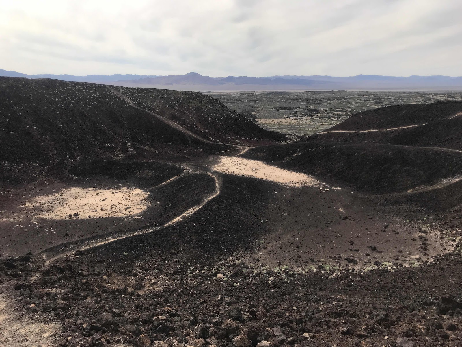
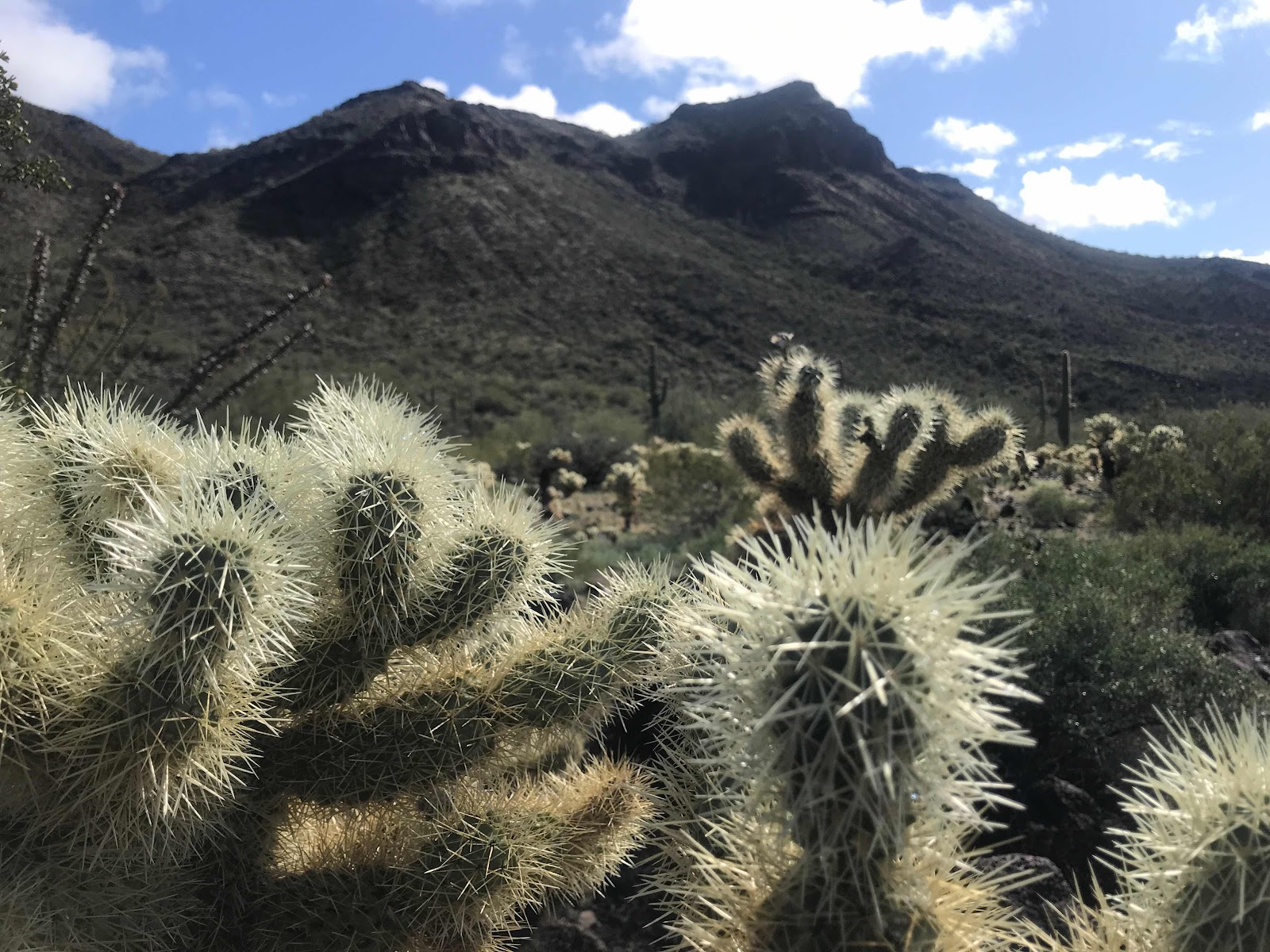
We finally got to Cabreza Prieta border we had to check in again as we did yesterday. The scenery finally became more interesting.coming into an area with rocks and hills.

We were stopped by two wilderness law enforcement officers at two locations. They both checked our permits.

We headed to where we turned around yesterday and continued west back out of the wilderness and north again to I8 and back to Ajo.
There were two dry camping areas on this route and one on the route yesterday, although Boondocking is allowed with restrictions.
The toughest part of this drive is through Christmas Tree Pass where the road is as narrow and rocky, as the width of a large pickup truck. I would be concerned trying g to get my truck camper through.
The pass is on a blind corner to make this even harder.
It’s amazing how remote you can be and still be in the USA.
It’s worth a visit to these remote areas as they are our public land. Don’t pass up places like this for just the popular named places.
Brent
macaloney@hotspot.com