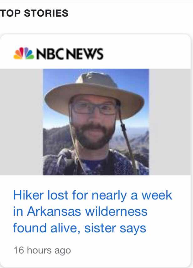
In the news this past week was the story about the missing hiker in Arkansas, as noted by this google search results above.
Here is the link:
The focus on this blog is no getting lost.
I have solo hiked many times and many places in the past while on travels. Some hikes I have not seen others beyond a certain point, or it’s been over 4 hours.

Staying on established trails is important, but I quickly found that in the desert, hiking over rock, itis easy to loose the trail and I had to walk in a circle to find evidence of the trail again. The other thing is that there are established trails that are marked and nonestablished trails that can be confused with the real trail. It’s not uncommon for me to take the wrong intersection as the real trail isn’t marked.
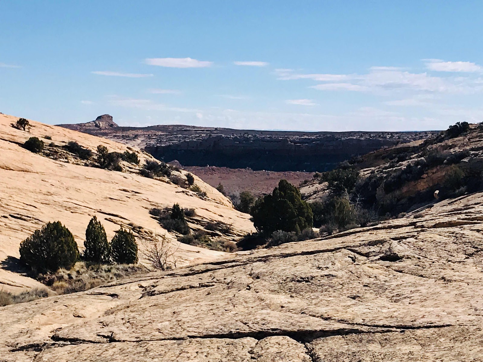
This year hiking along Comb Ridge looking for ruins and petroglyphs, many places did not have formal trails like the in the picture above. Yes the trail crosses a lot of open face rock.

I quickly learned on my solo hikes that once you enter a canyon, cell phone usage, that was already spotty in the west, was non existent. I turned to using the AllTrails app on my phone, as although you may not have cell phone coverage you have a better chance for gps coverage.
(I am a AllTrails paid user and have no relationship to the company.)

That’s right. Your gps works on your smartphone without cell phone coverage. The AllTrails app allows you to download the hiking location map and that’s all you need to turn on recording your trek. In fact, an older smart phone without cell coverage cans do this too. All you need to is download the off line map on WiFi.
Above is my hike in Maryland in late April. If you follow my blog you will see posts of my treks our west. I just don’t share hikes without established published trails, to leave it to others to discover if they do choose and not allow the more obscure locations to be overrun.
The example above is a good one, as you can see the many trails on the map and the turns I made along the way. In many places out west or in forests disorientation is possible.
Now this is the fun part. I may not know exactly how to get somewhere looking for artifacts in Utah, but I can always get home!
That’s right. Assuming you turn on recording your trek, and assuming you have a gps signal (slot canyons are generally obscured from satellite gps), you can see where you are and you can just walk in the direction of your recorded line of travel. (Red line in AllTrails example above.)
I do have a tendency to get off trail by looking for the right trail or looking for a spot to take that special photo, so I often use this feature on AllTrails. It also helps with finding the shortest distance to a location.

Please bring a charging cable with charging brick as using gps is a radio signal and drains your cell phone battery. I shut off WiFi, Bluetooth, and usually cell as there is no general cell service along Comb Ridge. When I get to the top of the ridge, and take a break, I will turn cell service back on, as I may get signal to get mail.
Technology is great but it can fail you. Stay aware of your surroundings. If you leave the trail walk the same way back vs trying to find the trail later on. Know where you are headed in relation to the sun movement so you know the direction of your travels. Know the weather for the day and next day. Plan to bring items for getting stuck on the trail somewhere and carry energy bars, nuts and fruit. Bring clothing for possible situations/weather changes. Prehydrate by drinking a pint of water before starting your trip. Bring a liter of water for each 1000 ft elevation change. I bring a life straw in case I need to drink out of a pool of water. Bring at least one hiking pole. Bring what you need for “leave no trace”. Pick up some others trash along the way to help our environment.

Overall I carry about 25 lbs in a daypack. I bring more than most others on my hikes, as I believe in being prepared. I could bring more, but everyone has a limit. Of course things like water crossings this year meant bringing trash bags to wade with, as an example.
This year I now carry a small portable Ham Radio, having passed my ham license last fall. I also carry a spare battery for it. I will cover Ham Radio and hiking in a separate blog post, but it opens up another way of contacting the outside world during an emergency. There are a number of products to contact help or family by subscriptions. You can rent a satellite phone. I do choose to be self proficient but let others know of my hiking location.
My focus of the blog was to review about getting lost and what you can do to prevent this. There are many factors about solo hiking not addressed here.
You have to decide all these things for yourself. The past few years I have been lucky to have others to hike with. I therefore do less solo hikes. I still hike and carry supplies as if I am hiking by myself.
Be safe and enjoy your hike!
Brent
Brenton MacAloney
macaloney@hotmail.com
No comments:
Post a Comment