Thursday, March 31, 2022

Cochise Stronghold - More Than Just Camping

Some of my friends have been to Cochise Stronghold, but I had never been.  Since I gave up on going to UT in March this year, because of the weather there and also fuel prices, I was looking to continue exploring in southern Arizona.


I decided to go to the eastern side of the eastern side of the Coronado National Forest to spend a night and check out the area.


The camping as shown in the picture above has a number of sites, although no water, toilets, or rubbish.  It is a very pleasant area.  It is a drive from a major road.


I went for a hike in the canyon that Cochise made his stronghold.  A canyon with steep sides, made it very defensible. Here are a couple deer that I saw on my hike.


There are a few hikes here with one hike that goes around the mountain to the other side to Council Rock.  I didn’t plan the time for that hike.  Council Rock is also accessible by driving around the mountain.  

I chose to stick with checking out the area this time and come back at a future time to visit Council Rock and explore the west side.

If you get a chance to visit Cochise Stronghold you should brush up on some western history.  I recommend this link to give you the details on what happened here. 


There are many places in southeast Arizona that are fun if you enjoy western history.  If you haven’t visited spring and fall are great times to enjoy the area.

Safe travels

Brent

macaloney@hotmail.com


Tuesday, March 29, 2022

Rock Hounding In Eastern Arizona

If fire agates is your thing, there are a few places to Rock Hound in Eastern Arizona 


At the Black Hills Rockhound Area.  The Rockhounding here is known for a lot of pieces of fire agates.  They are here for the fun of finding and taking.

Im not “into” Rockhounding, but I do pick up rocks on my travels and hikes I find interesting.  This side trip here was worth while and made for a nice change for the day.

Above is what the area looks like that you will be looking for fire agates.  

Although you can see sone fire agates from a standing position I was much more successful kneeling and being up closer to the ground.  Sone posts for this area indicate the inability to find fire agates.  Possibly they didn’t get down close enough to see them.  Possibly they were only looking for the large deep amber fire agates.  

If you do a Google search you will see there are many colors of fire agates.  Certainly amber are more attractive because of their color.  In any case, I had no problem finding many.  I found so many I stopped picking them up.  I found them where people had dug looking for them.  Most I found were just sitting on the top of the ground.

Dust on the surface of the ground does obscure the fire agates.  A spray bottle of water can help find more. Also useful is a small trowel and gloves.  The gloves are a must when moving debris on the ground to not hurt your hand with a thorn.  Also handy is a small collection bag, drinking water, and a gardening kneeling pad.

There is an old camping circle where I parked but there are other places.  Boondocking is allowed as this is BLM land.  Road is rough getting in to the old campground but a high clearance vehicle and dry road would have no major problem.


Here is my collection all obtained in an hour.


Here are a few off my fire agates I selected with different coloring.

There are other places in this area to find rocks, including into New Mexico.

Happy Rockhounding.

Brent

macaloney@hotmail.com


Monday, March 28, 2022

Protecting My Engel Compressor Fridge From Heat

It was hot in southern inland Texas south of Lorado, along the Reo Grand River..  So hot the temperature in the shade reached 98 degrees.


When the temperature gets above 80 degrees I usually put my reflectix wrap I designed for my Engel fridge.  It’s simple and holds itself in place.


When the temperatures get above 90 degrees I add additional insulation to the reflectix on 3-sides of the fridge.  In this case I took my fleece sleeping bag liner and added it to the wrapping.  I also put a foam pillow on top of that.


Also when it gets above 90 I turn on my USB fan and direct the flow on the back side of the fridge blowing air up into the condenser coil fins.  This 4th side of a compressor fridge must be kept open to dissipate heat and the fan helps do this, even if the temperature is 90 or above.

Any help you can give your compressor fridge by insulating it even at night before it’s hot will help.  Also, keep direct sunlight off the fridge.

The Engel did well in the heat this way rising from 31 degrees as my overnight temperature in it to 33 degrees at the peak heat of the day.

These tips on insulating and blowing air up over the coils will help your compressor fridge from working as hard as it would without doing this.

I hope this helps. Keep your compressor fridge happy

Brent


macaloney@hotmail.com


Friday, March 25, 2022

Carlsbad Caverns 36 Years Later

Some of you will relate to this.  You take your family on a cross country trip and years later you go back to sone of the same places.  For me my family’s cross county trip was about 36 years ago.  On that trip I took my young family to Carlsbad Caverns National Park.  

Sone things I remembered before arrival this time and other memories were triggered by the visit.

Here is my visit this year.


The mouth of the cave

I remember the mouth of the cave most vividly and the switch back path into the cavern.  This is also where you can see the evening bat flight when bats are staying here. The bats are not heat now.


Above looking back out of the cave opening.

 I camped outside the park so, I was able to arrive early to avoid the crowds that come later in the day.


There are many beautiful pictures to take like the one above, but I can only share a few in my blog


Being early meant I had a quiet time in the caves.  Although the ranger instructs everyone to use library voices, later in my walk it got louder from non library voices.


The formations are nothing but impressive, as is the one above.


There is plenty to learn here beyond the beauty.

The geology related to the formation of the area and the caves is very interesting.

The 1.25 mile hike down or up or 3 miles round trip is great exercise.  Along with the 750 ft elevation change may be your workout for the day.

I chose as I did many years ago to hike into the cave depending g the 750 foot drop and taking the fast and efficient elevator to the top.  

Although walking out is an option you would be going against the flow of the majority of the people.


Ok just one more picture before I move in in my adventures.

Carlsbad caverns, although it is a long way from population, is worth the trip.  Note that you need a reservation to get in to the caves and that living is limited in the area.  I boondocked outside the park and had no problem.

Safe travels

Brent

macaloney@hotmail.com

A Drive - Beyerville, AZ To Coronado National Memorial

I’ve driven a number of back country drives in AZ, close to the border of Mexico, and here is one such drive I finished this year. 


This drive runs from just east of Nogales, AZ to south of Sierra Vista, A, as shown in the map above. This is - 50+ mile back county drive on mostly unimproved road with no services.


I started out driving from west to east from the Nogales area.

You start out in an area with som trees with limited cell service and drive into national forest where Boondocking is possible.  Then it’s a drive up into the mountains where you see in the picture above there was some snow on the shaded side of the mountain.  There are some spots with tight turns and it’s narrow road.  It is slow go and not for big vehicles or towing through these mountains.


At the top of the mountain pass it is a continued decline until you reach pristine grassland very close to the border of Mexico. (Above) although the road is gravel and has been graded, there are many spots that have the rumble strips for some distance at a time and washes that have been rutted by rain and runoff.


Continuing west the mountains above come into view.  You pass along the side of these mountains.  Along the trip you should expect to see Border Patrol at some point sitting off the road. Along this section of road there are also Boondocking options.


Eventually the road climbs again to the top of Montezuma Pass, where I stopped for this photo facing east.  From here there is a hiking trail down to the marker at the mexican border.


Also from the top of the pass looking back Mexico is off to the upper left of the photo.

This was a morning drive and that afternoon I drove further east to Bisbee, AZ for the night.

I travel on a lot of unimproved road on my travels and having a well maintained vehicle is so important.  It is possible to have a problem.  I bring my camper with me and have days of food and water.  There is no cell service for the majority of the drive and you will need to be self sufficient.

Safe travels,

Brent

macaloney@hotmail.com

Thursday, March 24, 2022

Whitewater Draw Wildlife Area


In my 9 years of retirement and same number of winter trips to Arizona, you would think I have been everywhere.  The fact is, I haven’t.

I’ve known about the Whitewater Draw for it’s yearly Bird Count that takes place every winter, but never put it on my list.  

I’m not a birder, but I enjoy nature and wildlife.  The Whitewater Draw didn’t disappoint.  I arrive in the afternoon to a crowded camping area set aside for 3 days maximum per visit and found a pullout on the road in to make camp. 

The key to this visit was the evening walk of the sandhill  cranes out into the shallow water and their predawn-dawn flight.  


Above the sandhill cranes are out in the water for their nightly visit


Here is a photo of sandh cranes taken with my iPhone through binoculars.


Here are the sand cranes taking off on their morning flight


In addition to the sandh cranes there are these small black birds that put on an evening show roosting on the marsh reeds, taking off and landing again and doing his until dark.  Quite enjoyable to watch.


I’ll leave you with my evening sunset at whitewater draw.

Please note that the sandhill cranes migrate and as I understand it, they winter here in AZ reaching around 20,000 of them 

There were plenty of bird enthusiasts with large camera and long lenses. 

Enjoy your travels.

Brent

macaloney@hotmail.com


Helping My Friends On The Road This Year.


Picture of my Tacoma and FWC camper.  I carry some tools and parts to help friends

I enjoy helping my Vandweller friends for a number of reasons.  

- It fills my desire to help others.  When I left the Fire Service as Fire Chief, I was left with a void.

- It puts me with my friends in a quality time way. Yes you can sit and talk around a campfire, that alone doesn’t get you into interesting conversations or casual banter.

- I’m an engineer and one thing engineers like to do is figure out how things work.  With my engineering education, work history, and experience fixing things I have a lot of knowledge to share.

- I like the gratification I get from what I do.

- Helping others keeps me in an active learning mode.

This year I have addressed the following problems.

- lube door locks
- replace vehicle door window motor.
- added power switch to 12 volt power circuit owner had installed from engine 
- replace fantastic fan and control parts to give a full remote control roof fan.
- reconnected door speaker wires.
- hooked up rear camera to brake circuit for automatic operation.


Above is the finished fantastic fan upgrade.  Fan did not work, rain sensor was broken.  The new one had all those features and now Vandweller has a remote control of fan.

I upgraded my fantastic fan in my FWC with temperature control when I first got the camper.  Later I installed a PWM (pulse-width modulator) to control the speed of the fan.
If interested in my upgrade you can see it here: http://macaloney.blogspot.com/2018/09/?m=1


Brent

macaloney@hotmail.com

Saturday, March 19, 2022

Charlie Bell Pass Hike - 3rd Time Was A Charm

I have been to Charlie Bell Pass for 3 times now and this time it paid off with finding the elusive petroglyphs.  Those that follow me know I love exploring the southwest and the ancients left signs from their existence in a number of ways. Last year I got a lead on petroglyphs south of here in the Organ Pipe National Monument and went searching with my friend Roxy and we found them.  They were not posted on any website I could find.

This year my friend Joanne and I were determined to find the Charlie Bell Pass petroglyphs.  


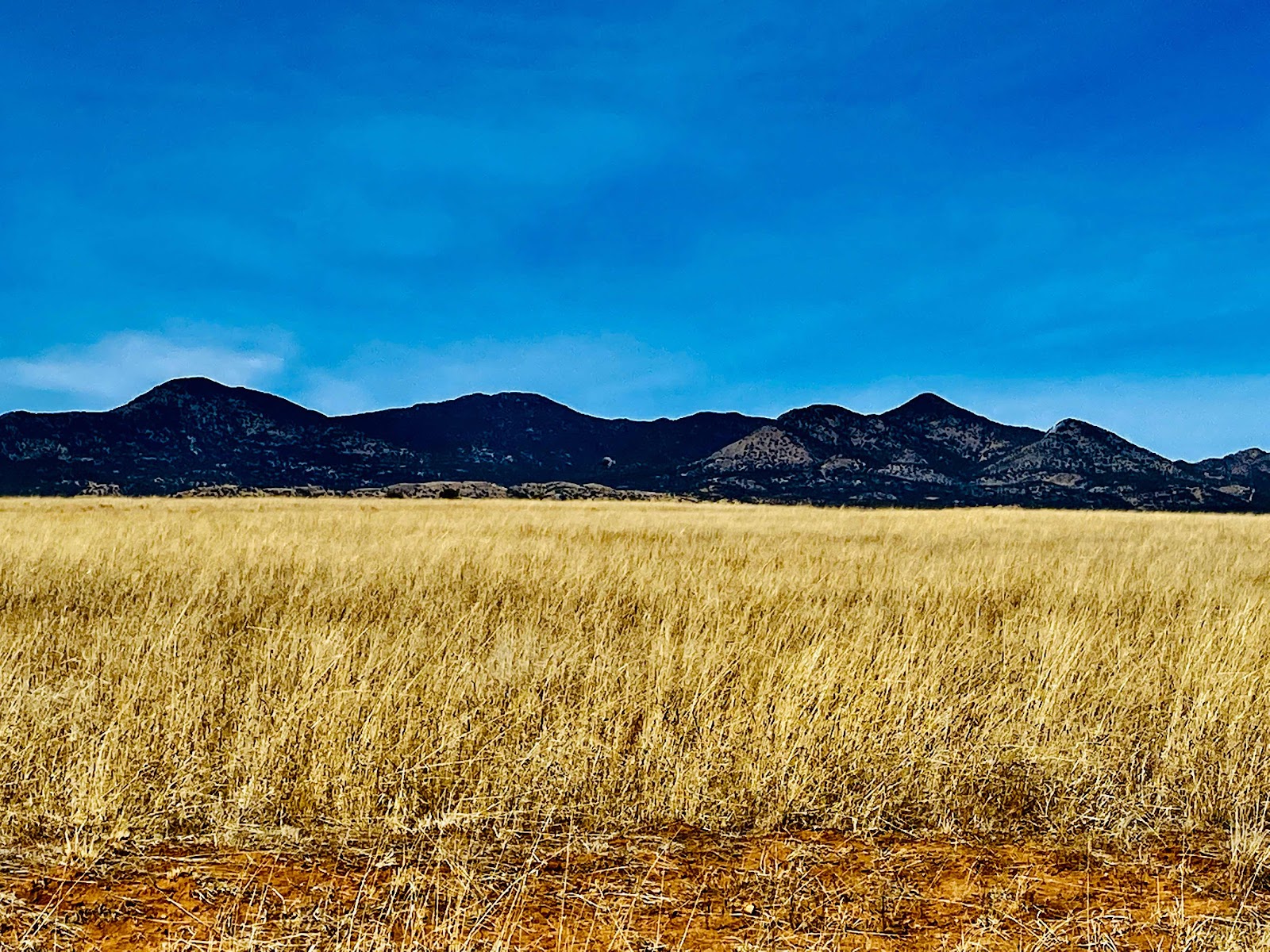
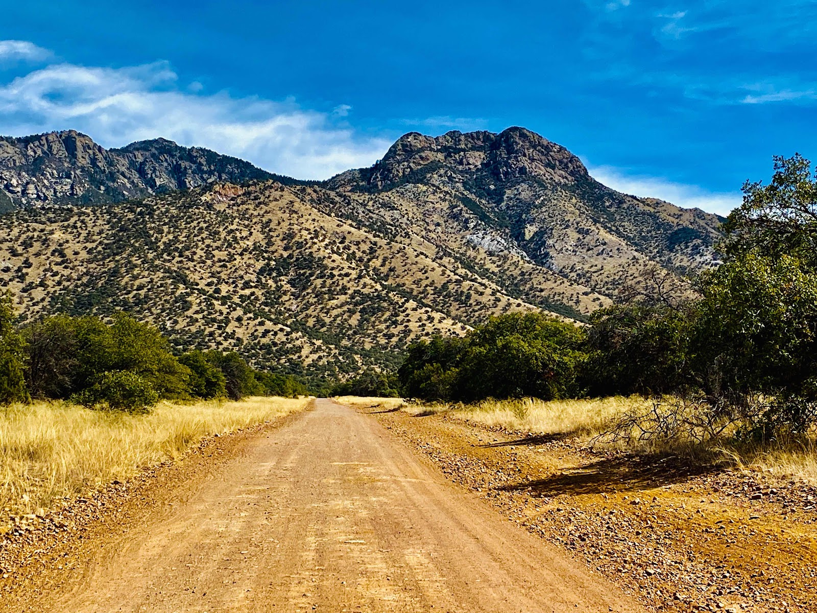
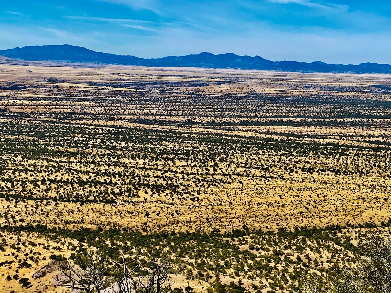
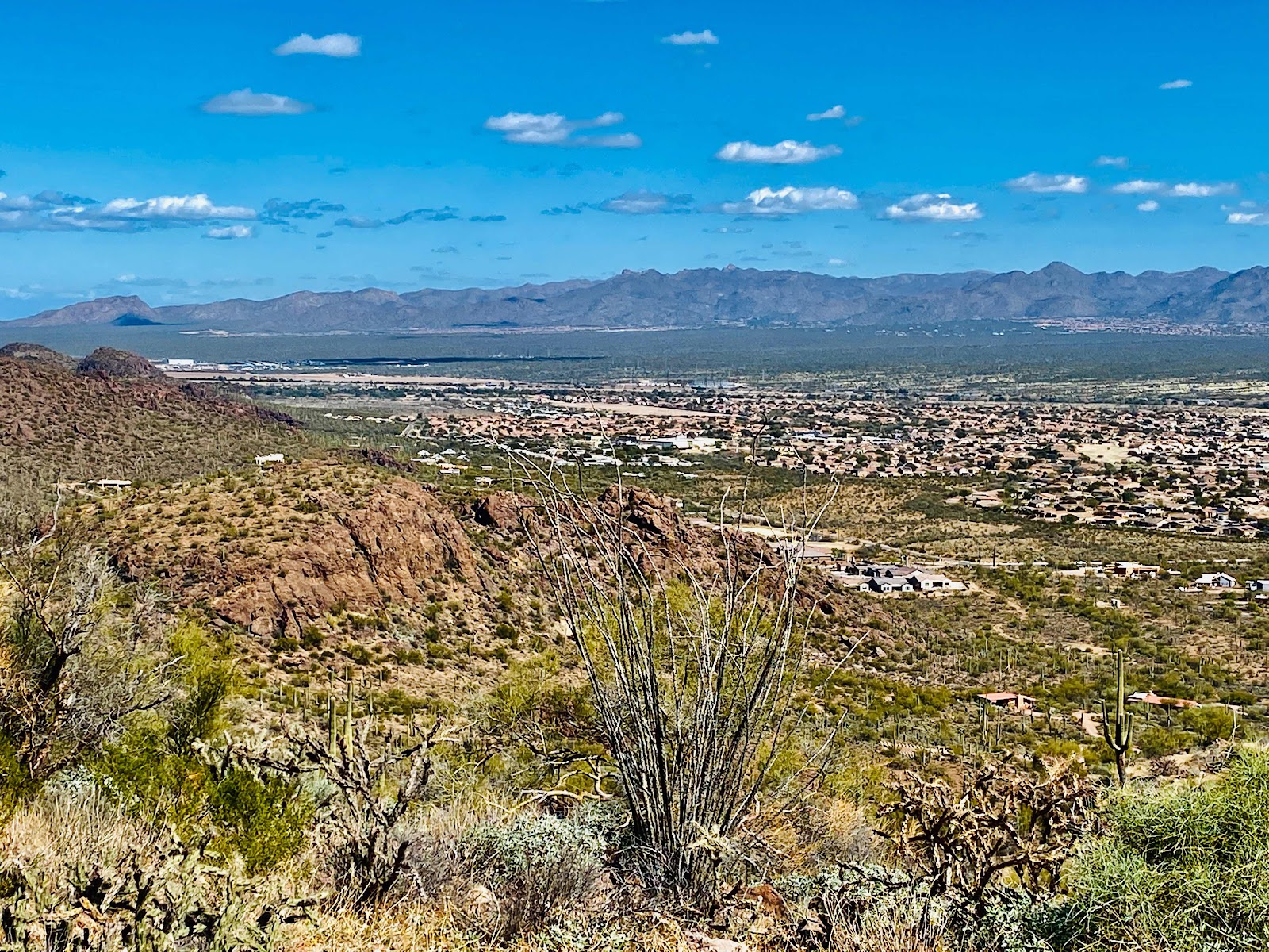
My previous photo of the Cabreza Prieta National Wildlife Refuge, where Charlie Bell Pass is located.


You must get a free permit to enter this area and other areas nearby due to US Military usage.  The permit is online but you need to print the pass and put in your vehicle.  You also need a permit for each individual even if ride with someone else..  the permit is through Luke Airforce Base.  See my previous post on this. (Above link)

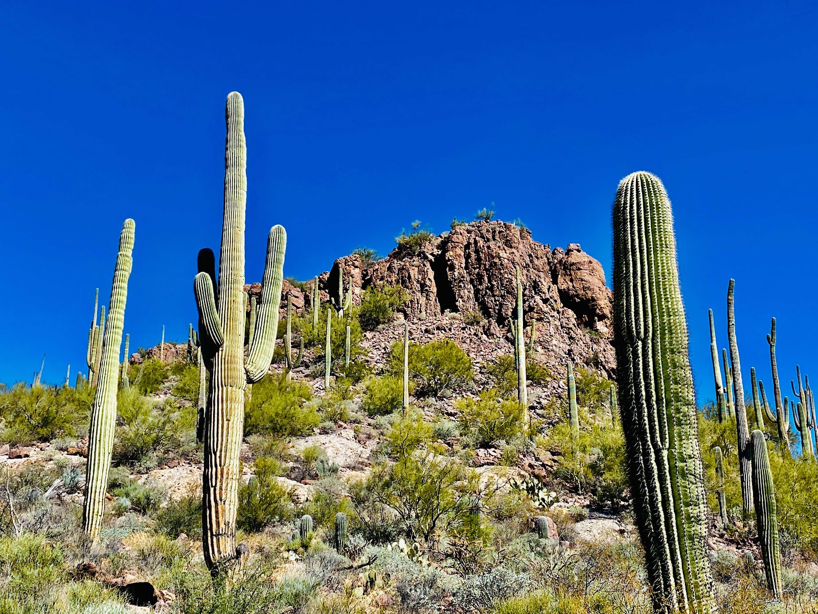
With permits in both our hands we head out in Joanne’s Jeep, from Ajo, AZ.  You drive on dirt roads from town until you enter the permitted area about 6 miles in from town, where you sign in.

The road gets progressively worse and why I don’t take my camper on my Tavoma.  The bouncing and rocking is not camper friendly.

The last 1/2 mile is the worse.  Loose rocks and bouncing and rocking all the way to the pass at the top of the hill.

When you park at the top of the pass at the road gate, you need to put your permits on the dash so they can be see .

We headed out meeting a hiking couple coming up the side we were going down and they didn’t find the petroglyphs and we’re disappointed. 

We continued with all our experiences knowing what to look for.  I must say Joanne is much better than me in finding petroglyphs.


We hiked and we found just a few petroglyphs but we knew there were more than what we found. As shown above.  We knew there was a lot more.if you actually find the above 2 petroglyphs in the pictures you get an extra star as they were not found in the main Petroglyph area.


Joanne found the fist few petroglyphs, and then as expected she finds the main area.


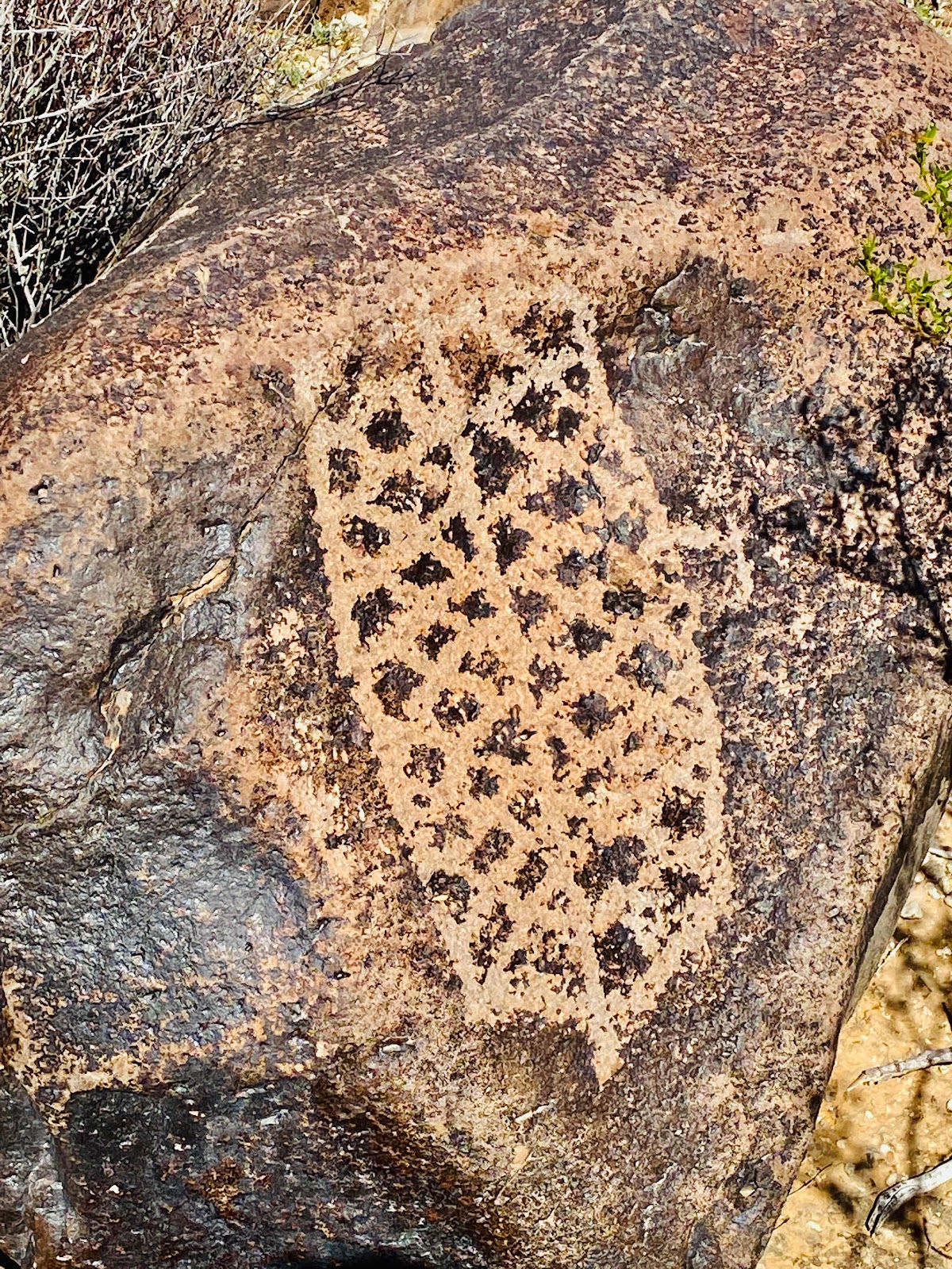
Above: we thought this may be a millipede


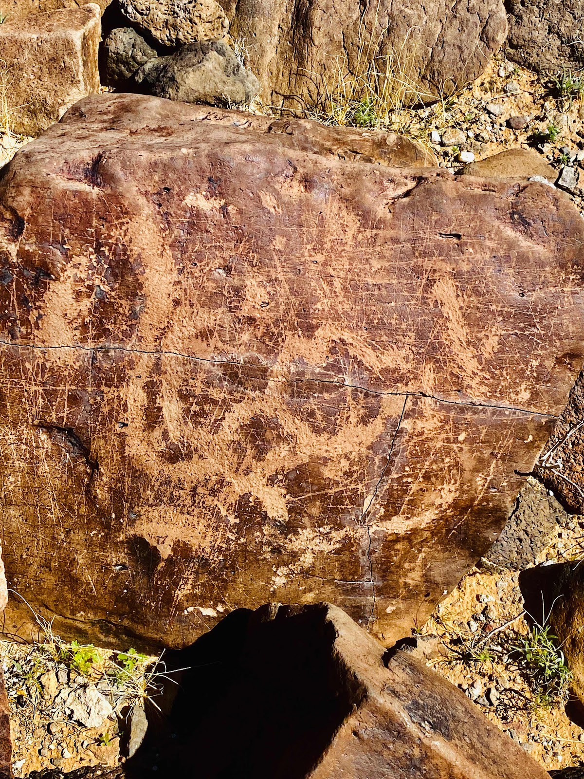
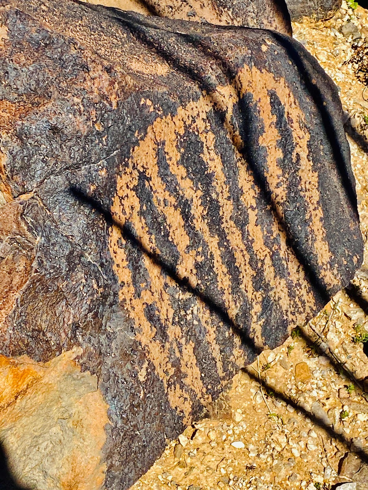
I wish I knew what the ancients were communicating in the above picture


We were overwhelmed with the total number of petroglyphs and spend at least a half an hour just looking and taking pictures. Above pictures are only a small sample of petroglyphs we found on this hike.

With success in finding the petroglyphs we needed to hike back out and up to the pass where we parked.  

It’s always more encouraging to hike up first and down hill on the way back, but this hike is down first and up on way back.

Happy hiking and since these petroglyphs are not geo located online from my research I will leave it to you to experience the satisfaction of finding yourself.

Happy hiking

Brent

macaloney@hotmail.com


Thursday, March 17, 2022

How To Figure Size Of USB Power Source

My recent post about my review sleeping bag liner heater received sone feedback from a good friend. Post link below

http://macaloney.blogspot.com/2022/03/sleeping-bag-heating-pad-game-changer.html?m=1

She has a vehicle lithium jump starter that has a USB port that she used with the identical sleeping bag heater and wanted to know how long should she expect the 18000 mili amp hour to last with the sleeping bag heater.


My tests of the sleeping bag heater showed that on high (red) it used 1.42 amps

In order to calculate total amp hour needs, the first thing you need to do is convert the battery (18000) mili amp hour battery to amps so you can compare both battery and how much you are using.  Ie. Changing milliamperes to amps

18000 milliamperes /  hour battery is 18 amp hour.
My friend said that her battery was 87% full when she started using the battery to run the sleeping bag heater one night 

That means you would need to multiply 87% by 18 amps and you get just a bit more than 15.6 amp hours of battery life to start the night with.

Although you will use less on the medium (blue) or low (green) settings we will focus on worse case of 1.42 amps per hour.

To get the hours you can get from heating with her battery you take 15.6 amp hours available and divide by 1.42 amps per hour used to heat the sleeping bag heater.  The answer is you get just over 11 hours of sleeping bag heater time.


Above is the battery in my pictures that I tested with.


In my experiment I used a 10200 mili amp hour battery.  With it fully charged what do I get for how long it will last heating the sleeping bag heater?

It gives me just over 7 hours.  Although I have used this USB power source, when I’m in my camper I plug it into my camper house battery and I have no overnight time limit.

Regardless of your battery size this is how you figure out how to determine the size battery you may need for the sleeping bag heater or any other constant draw device.  Of course the temperatures you are sleeping in and how old your battery is will have an effect on how long a battery will last.

Here is the USB device I use to measure the current draw.
Mine is a USB-A as I plunge standard USB cables into it.  You can plug two USB cables in at one time.  


Lastly, if you have devices that do not run for a full hours round to next highest tenth of an amp. 

Brent

macaloney@hotmail.com


Sanctuary Cove Hike


Tucson, AZ offers sone of the best hiking.  I know you must think I’m a broken record about Tucson hiking.  If you want hikes like this get to Tucson, AZ

This hike starts and ends at a dead end road in the Tucson area through the Saguaro NP West.  I chose to end the hike coming out through Sanctuary Cove, in the above picture. This is a loop trail.


The hike is up a bit and down over a saddle and then up the much higher saddle.  There is an option to go all the way to the top of the mountain, but I didn’t choose that.  From the tall saddle and rim it is a steep decline into Sanctuary Cove.


At the high saddle crossing you get great views of the surrounding area.


The flowers are a bit late from my past experiences, but keep an eye out and catch some color to brighten the trail.


This area is generally lush with green this time of year that makes for a wonderful contrast to the brown.


As you enter Sanctuary Cove the plants have markings to explain what they are.  It’s a great garden walk even if you don’t take the back country hike.


Above is my hike - mind the switchbacks coming down to sanctuary cove.  I mistook the trail for a erosion area and it made it hard to hike until I crossed the trail below.  Safety first and bring a hiking stick.

Enjoy the hike!  I met a woman who hikes it nearly every day.  Another great Tucson hike in the books.

Brent

macaloney@hotmail.com