Wednesday, April 13, 2022

Padre Island National Seashore

In continuing my travels along the Texas coast I headed north to Padre Island National Seashore.  

I decided to camp in the Malaquite Campground.  It’s an easy walk to the beach and has water and bathrooms.  With my senior national park pass I get half off the normal camping rate,  thus making it very affordable.
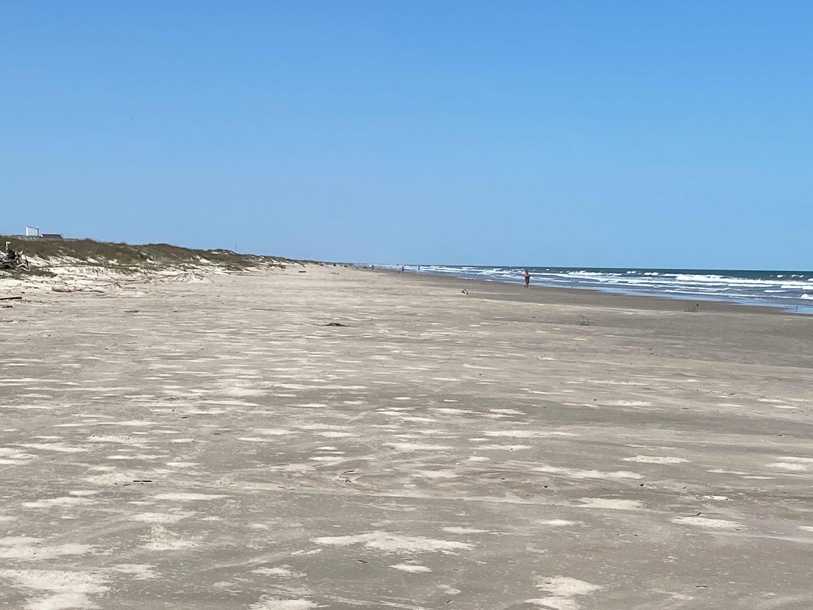


There is a lot of beach here and with the winds and astronomical high tides down there is plenty of beach.
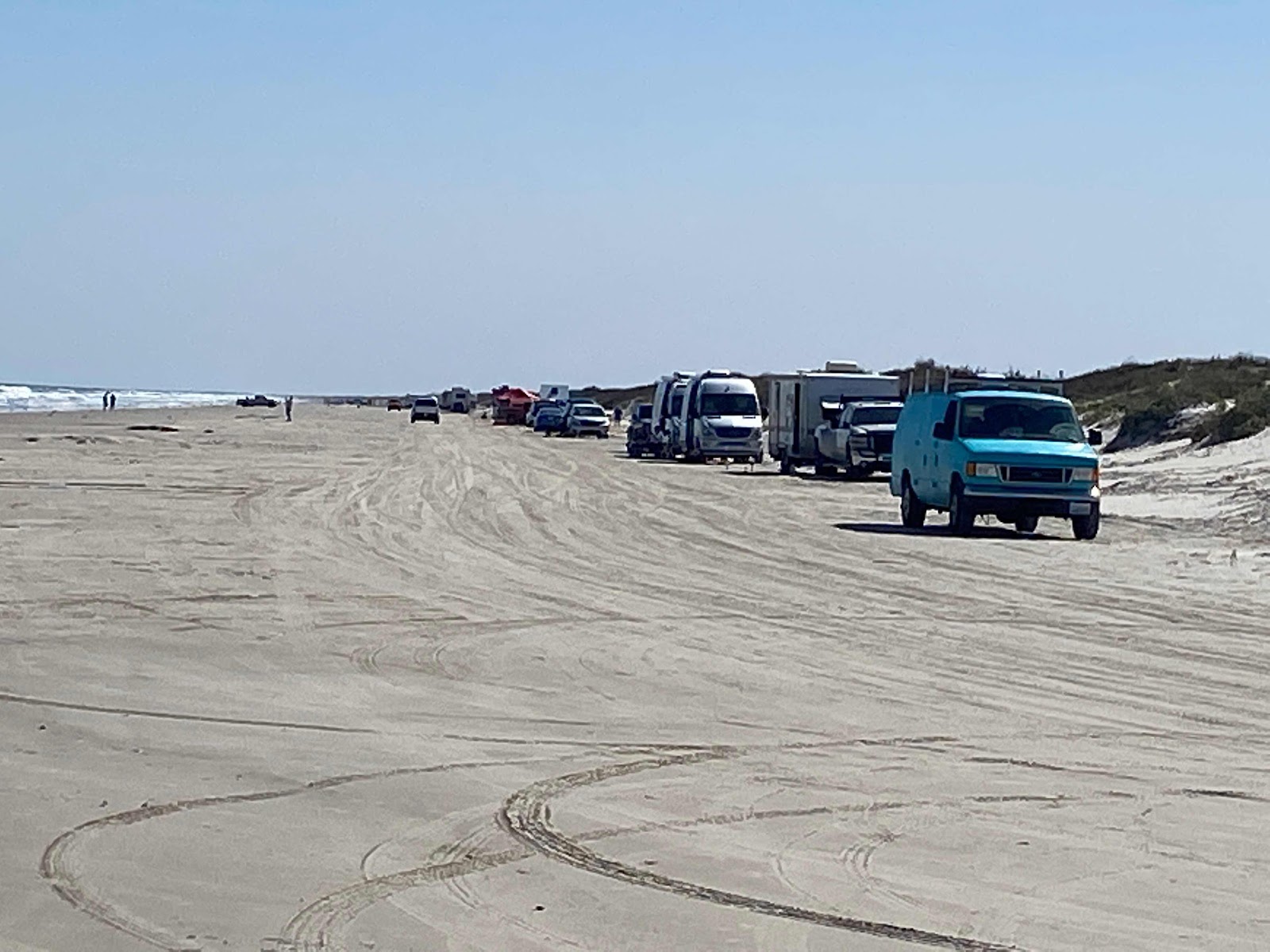

I plan on beach camping as I make my way around the gulf coast, but wanted to show the beach camping here.  If you have a national park pass it’s free to enter and camp.  If you don’t have the park pass it’s $10.00 to enter the park to access the free camping.

There are 2 free beach camping areas.  North and south of the Malaquite Campground where I camped.  The south camping goes for miles and miles, as seen with the picture above.  

For me, although beach camping is fun, I don’t have a long attention span to stay in this environment long.  I’m not a ocean fisher as many are who camp like this


There were wonderful morning sun rises as in the picture above.  


For exercise and entertainment hiking the beach was my thing.

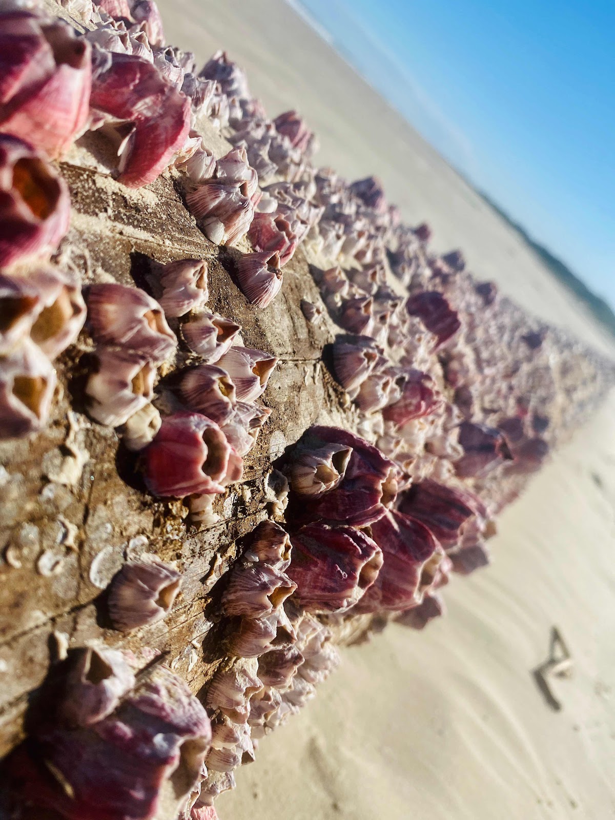
Above I found this log with colorful barnacles on it.  This is not a wonderful shell beach but this find yielded a wonderful different photo to share.

The Padre Island National Seashore is nice but doesn’t capture my interest more than 2 days.  I paid for 3 nights at the campground and left early as I have more to explore along the coast.

Brent

macaloney@hotmail.com

Saturday, April 9, 2022

South Padre Island - “Tide Is Too High”

After leaving Big Bend NP and following the Birder of Mexico stopping at a few paid and unpaid campgrounds, I headed for South Padre island looking to camp in the beach a couple days.  

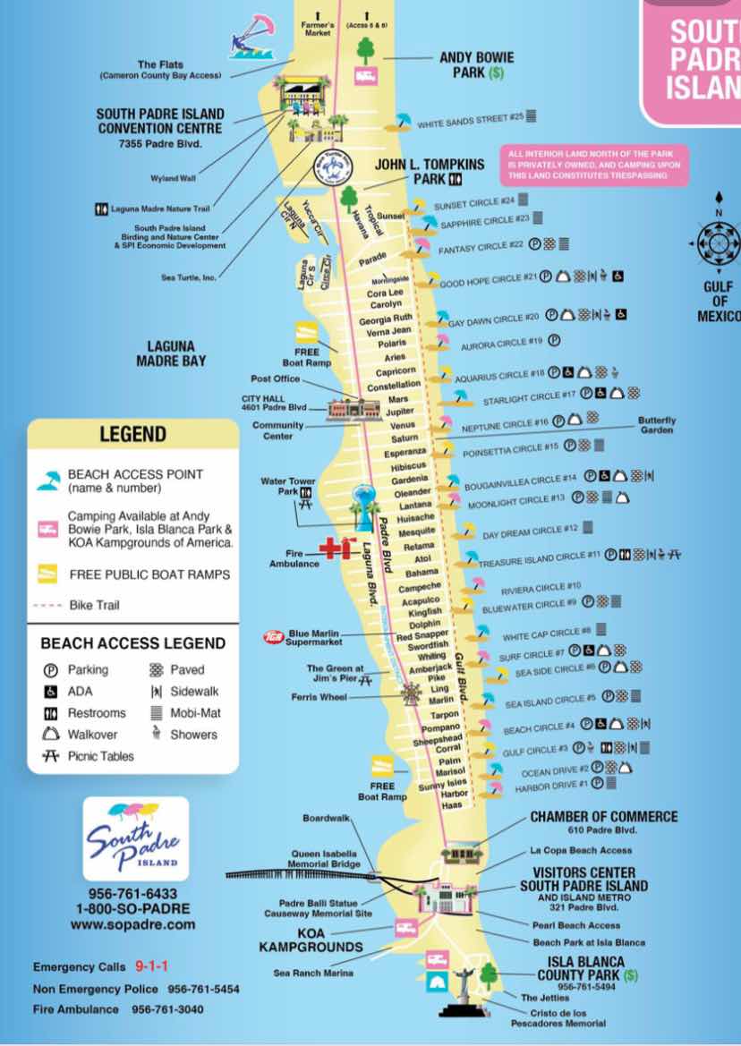
I stopped in the visitor center and found out the picture above is basically the city jurisdiction, and the people at the visitor center.  North if the top of the map is County jurisdiction and asking questions about beach camping went without answers.  

To camp on the beach of the city the spots are at the top of the map and you pay to enter the beach to park or camp. 

Google web capture photo

I drove to the city entrance booth to the beach and talked to the attendant and he pointed towards the break in the dune to the beach and ocean was up to the entrance leaving no possibility of beach camping.  

There had been a large storm with southerly wind along with full moon that brought up the tide to 1.7 feet and eliminated the beach.  He was very willing to let me try to get out to camp but he didn’t recommend it, nor did I have interest.

I tried to find county rules and breach access but couldn’t so I found a parking lot on the mainland that night.

Although I wanted to camp on South Padre Island I would not do it with such risk.  

Onwards up the TX gulf coast to Padre Island National Seashore.

Brent

macaloney@hotmail.com
Thursday, April 7, 2022

Indian Bread Rocks Campground Bowie, AZ

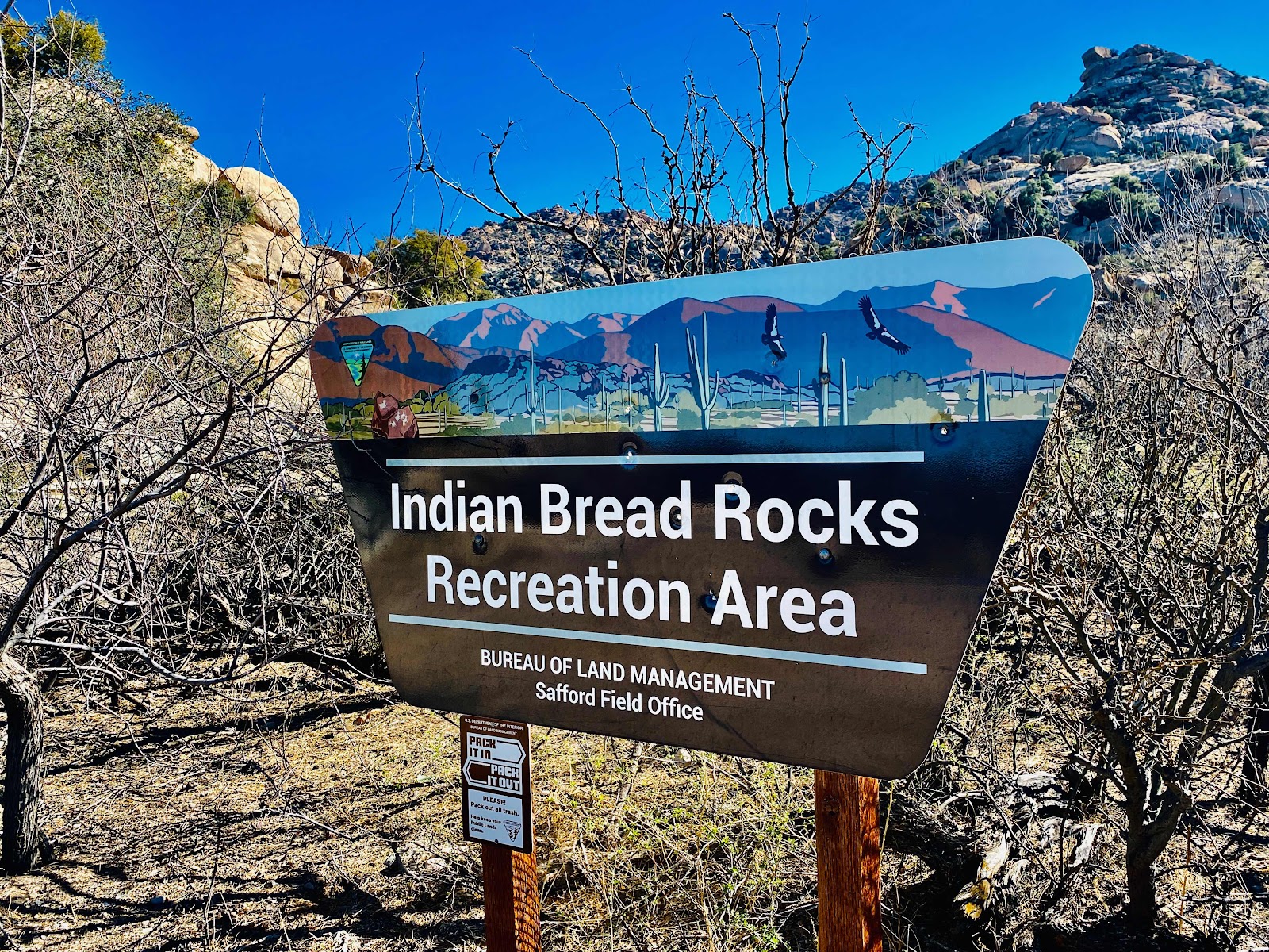
Indian Bread Rocks Campground is not far off of I10 in Bowie, AZ.  It makes for a great spot to visit a number of locations in the area including Chiricahua National Monument.  I haven been hear since my early days of my Prius travels.

Chiricahua has limited camping and the disbursed camping outside the park are a distance away and have less sun for solar.


IBR has changed in that the road beyond the sign above is now wider and more level.  When I first came the hump on the sandy road was high and I had to put one set of my Prius wheels on the hump as I would have hung the Prius up in the middle bump.

Although I don’t have my Prius in this trip smaller car dwellers can easily drive the road to access nice site further in.


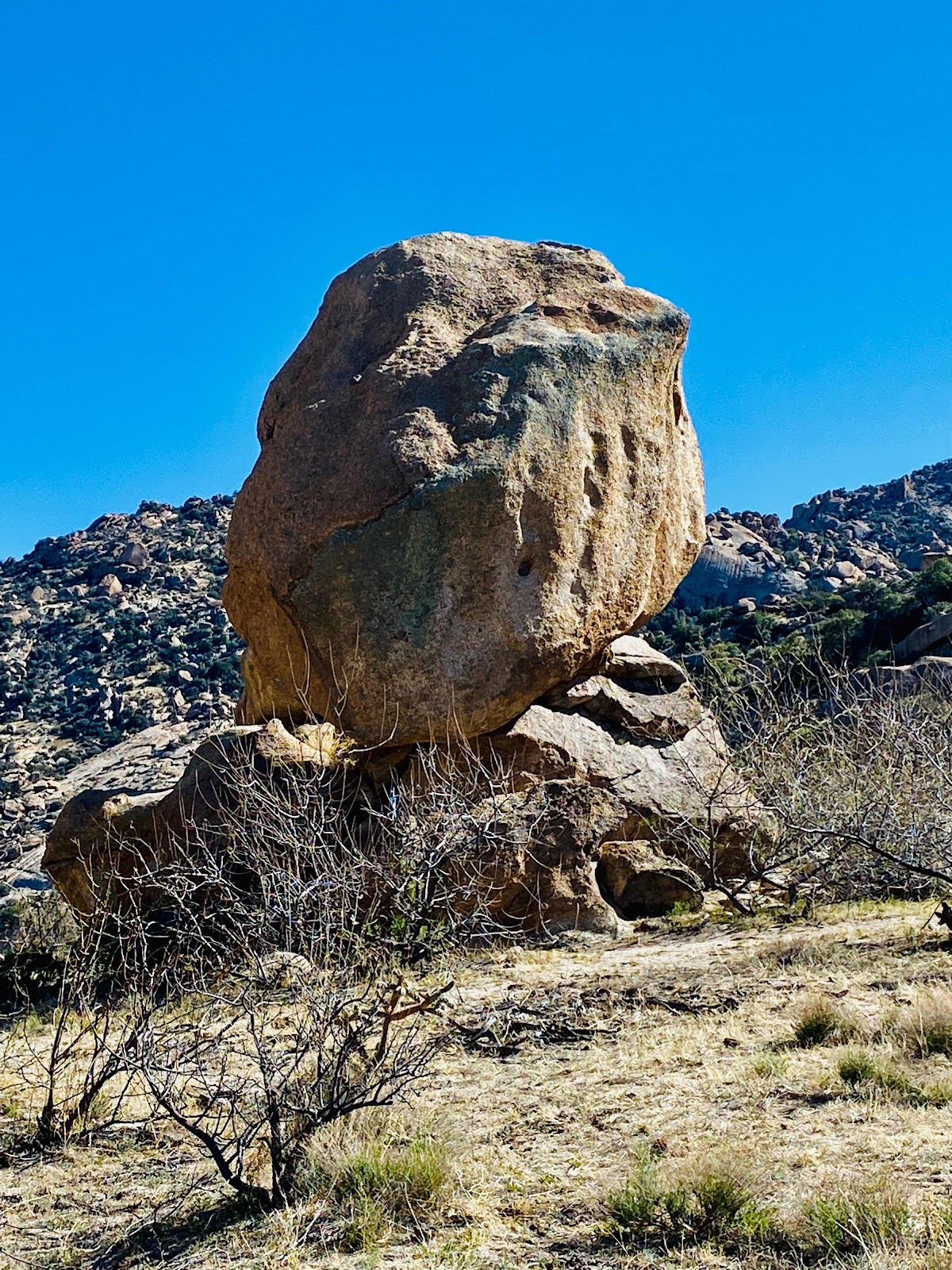
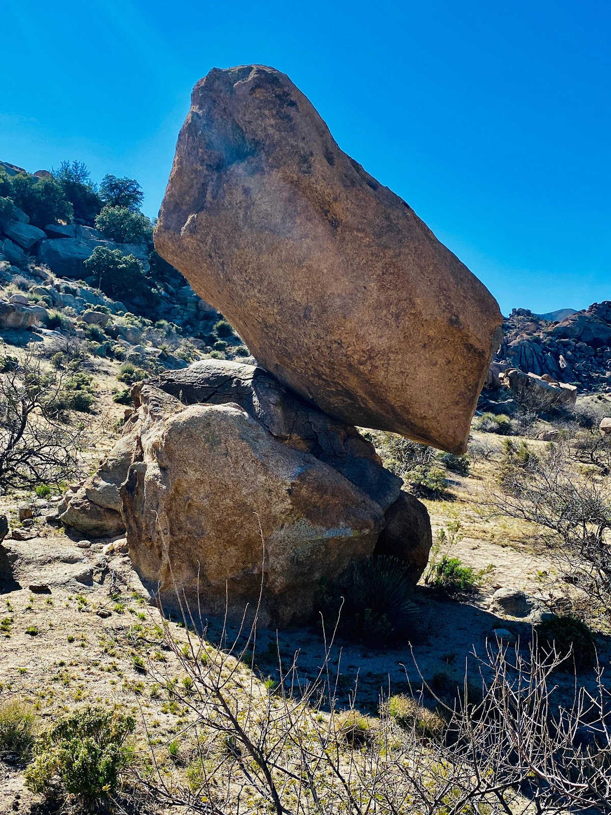
If it is your first time plan to take a walk and see some of the rock formations there.


It’s a good way to get some exercise and if you have children a good way for them to get some energy out.


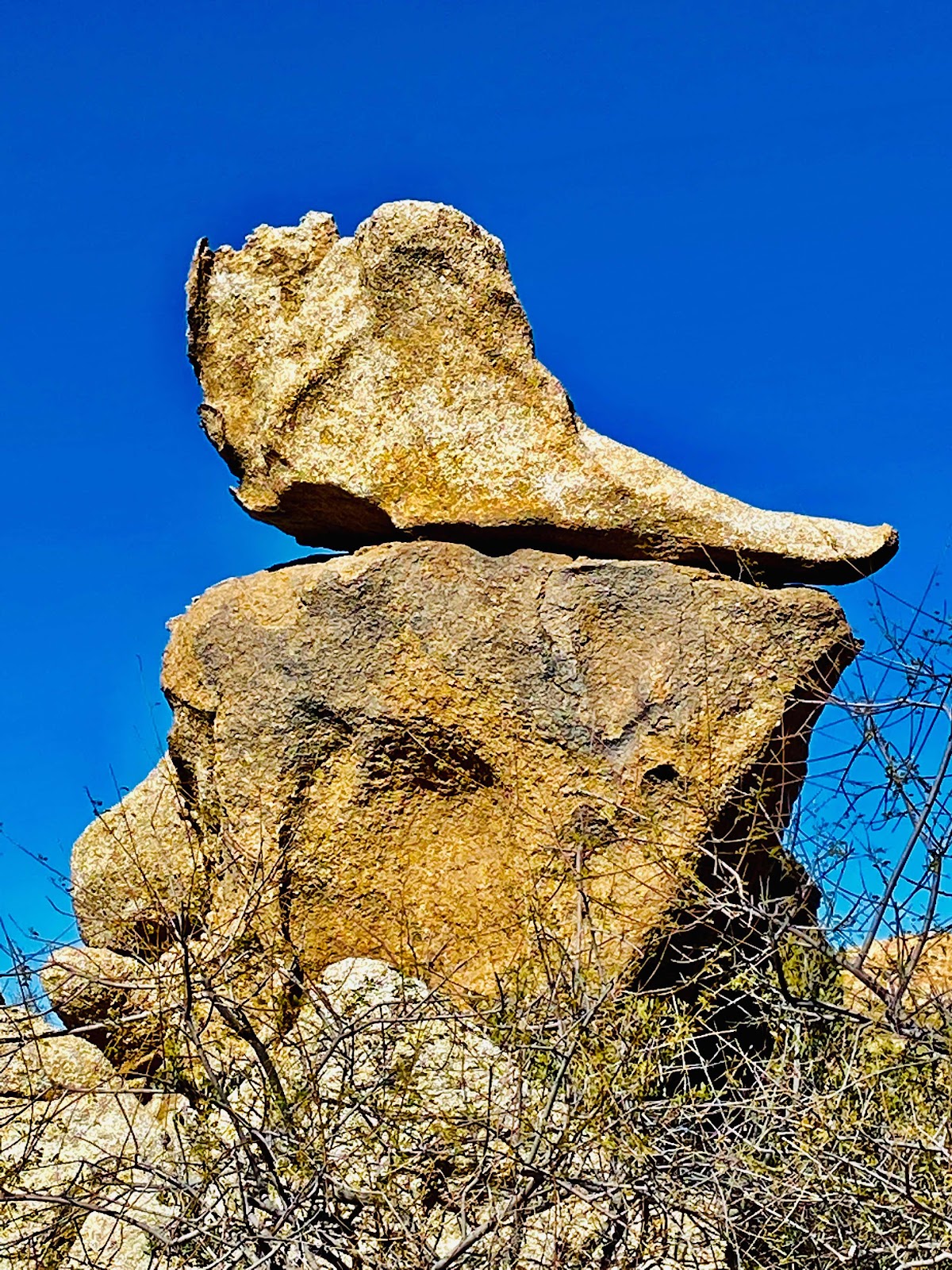
This formation looks like a old shoe sitting on a rock.


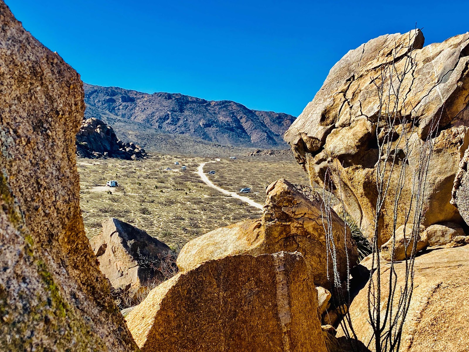
From up on the side of the hill you can see the road leading further in that I mentioned above.  There are some small and sone larger sites to camp at.

If your in the area it’s a good overnight spot for most camping rigs.  

Brent

macaloney@hotmail.com


Bolivar Beach, Port Bolivar, TX

The beaches in Texas I have visited are not all the available beaches to camp on.  In fact Bolivar Beach, in Port Bolivar, TX is past many other beach camping opportunities.  I chose the drive along the coast through Galveston, TX using the public ferry system.  

From the ferry from Galveston east, as soon as you get off the ferry Bolivar Beach is the first main beach down a tar road you come to.


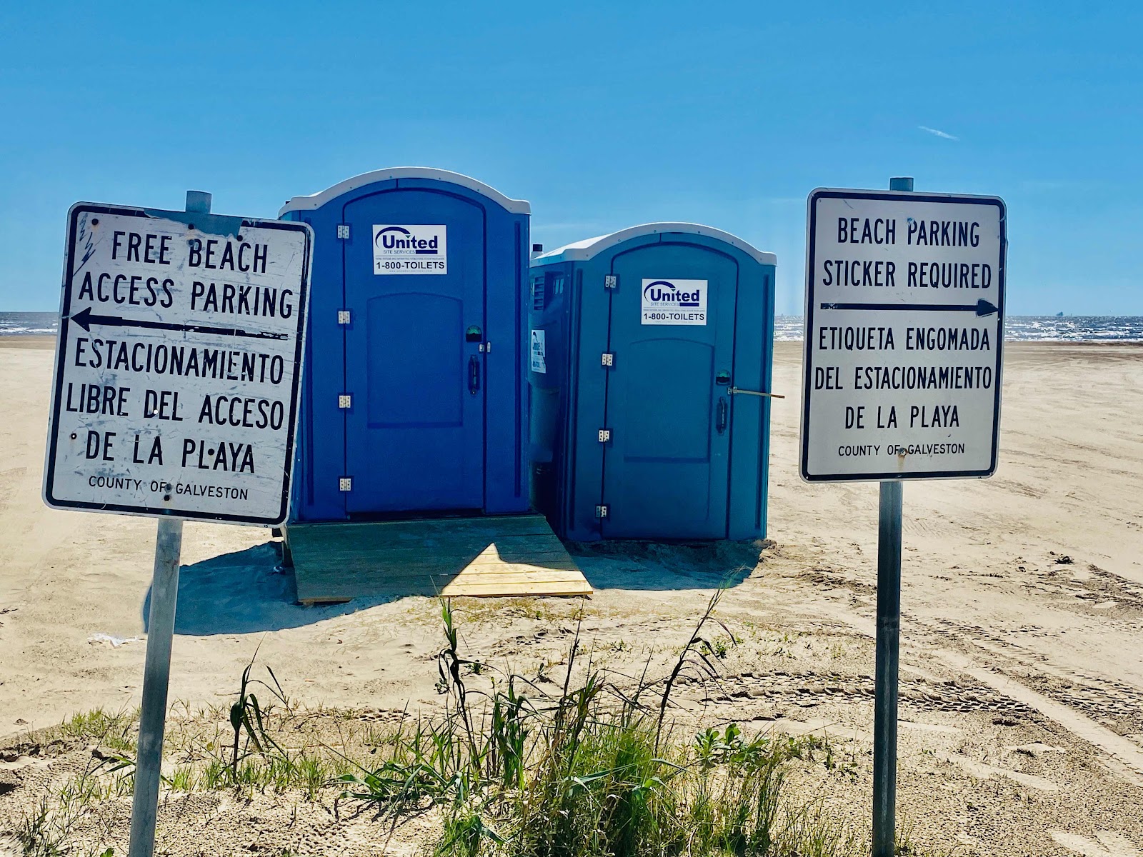
When you enter the beach area on Rettilon Road the first thing you see are the blue porta-potties.

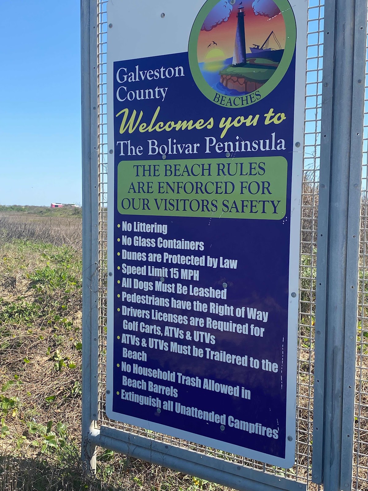
Stop and read the signs.

The left sign says free beach camping to the left.

The right sign says beach parking sticker required to the right.

This is very straight forward and there is parking sticker enforcement!


Look to the blue signs in the left side of road.

This one says you have a 1:2 mile of free beach parking.  More in this below.


Now this sign on the left side of the road are the rules for free and parking permit camping.


Here is my Tacoma/FWC camping spot.


There is miles of beach walking ahead of you.


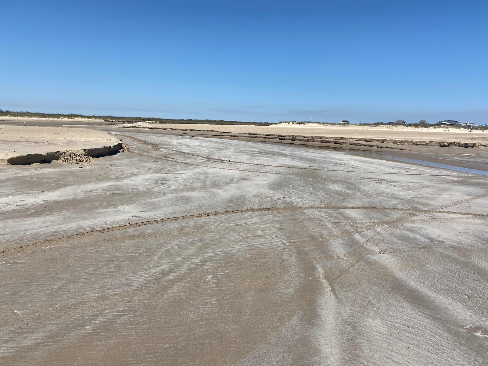
Now back to the free camping is allied until the first washout. The picture above is that washout.  

Now that’s what the sign said but when I walked down to this point there is a sign on the edge of the dunes, just before the washout that says end of free camping.  So the sign near the dune before the washout I guess takes precedent for limit of free camping 


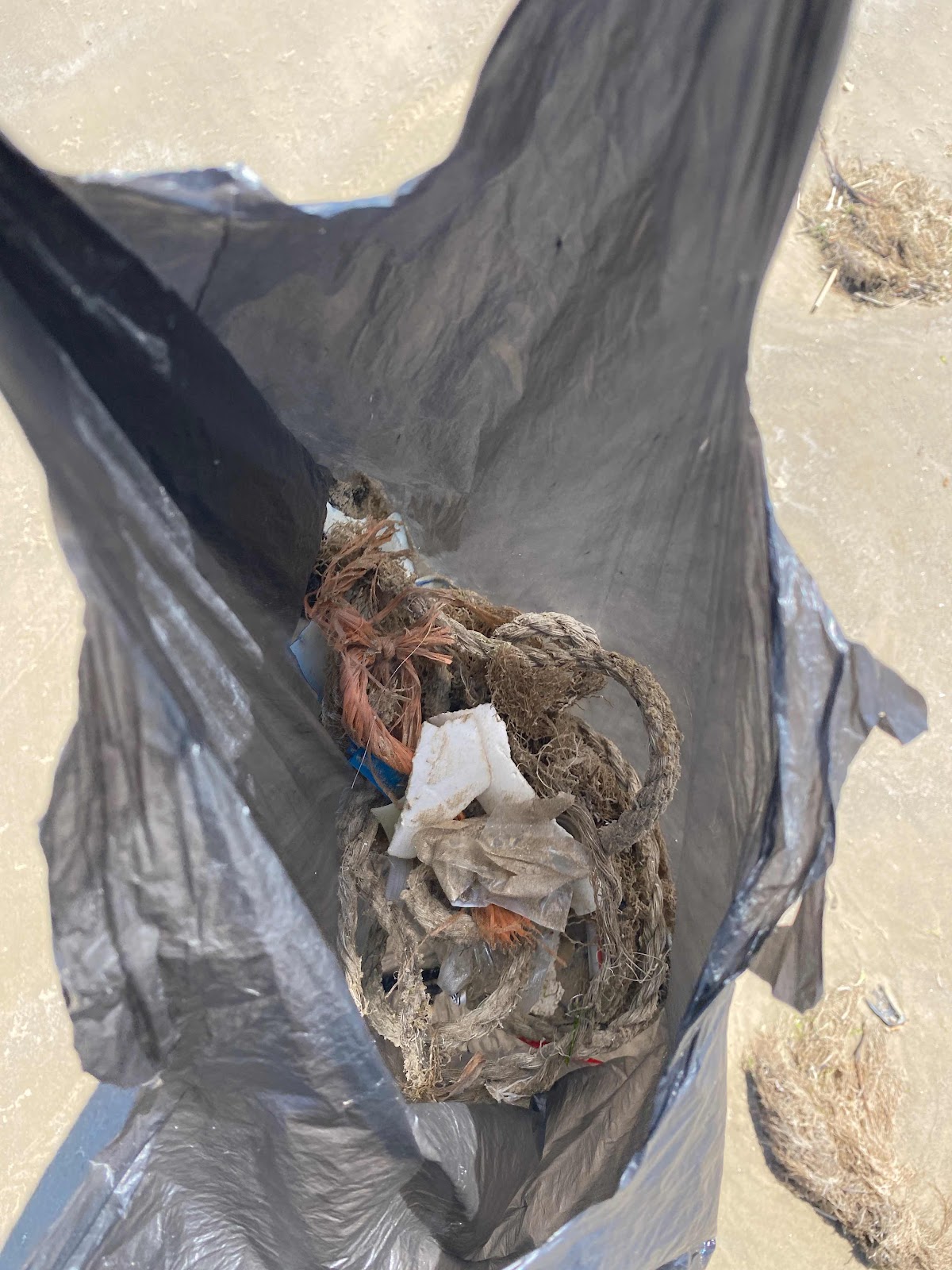
Now a public service message.  Sone people are slobs that camp and trash the beach.  There are other Boater’s who loose their trash overboard.  It ends on the beach.  This beach has rubbish cans along the dune line for miles.  

When I salary at free campsites I pick up at least a Walmart bag of trash.  Here I brought one bag and after a short time it was full of trash I picked up.  I decided to dump the bag and start over again once it was full.  I did this for miles.  So much trash😫

Please 🙏 pick up your trash and others trash along your travels.  It’s so nice to have these free camping places and it only takes a few to ruin it for others.  But, we are the many and if we all give back gor our free stay by picking up trash we will have these places in the future.

Thank you,

Brent

macaloney@hotmail.com


The Window Trail Hike - Big Bend NP

I separated my larger Big Bend hike to the Window as a separate post from my general visit to Big Bend National Park. Check my other blog post on my general visit to Big Bend


I started my hike at the main parking area by the Chico’s Basin Lodge around 9:00 AM.  In fact, I parked behind the Restaurant.  Big Bend NP is popular, especially during spring break.  I was told by the Ranger that they shut off general access to the lodge at the top  of the mountain by 10:00 as there is no more parking spots available.

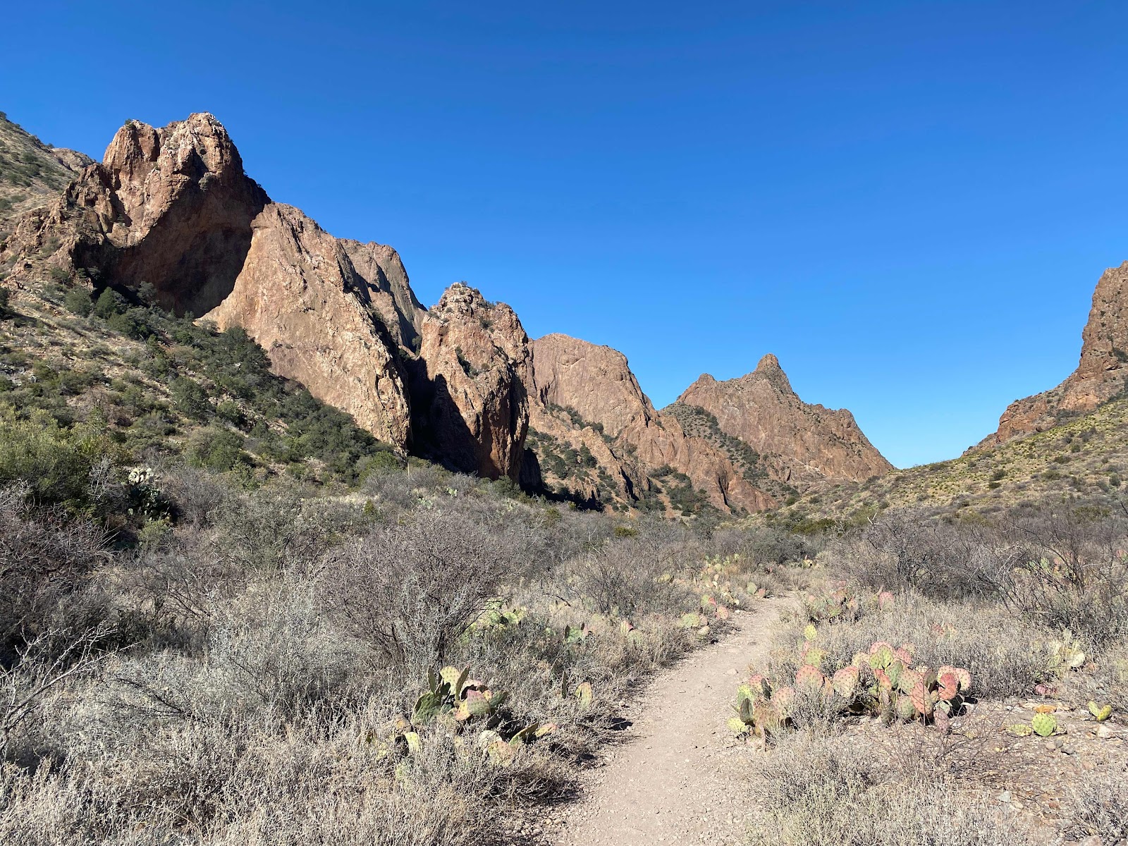
If you look at picture above you will see the notch in the hills.  This is the slot canyon that drains this basin.

Knowing this, I got up early from my overnight spot 1 hour from park to allow me to find a spot to park without waiting.

Remember to check on such details before you go so you can better utilize your time and not be disappointed.


Above is the trail to the window Rock


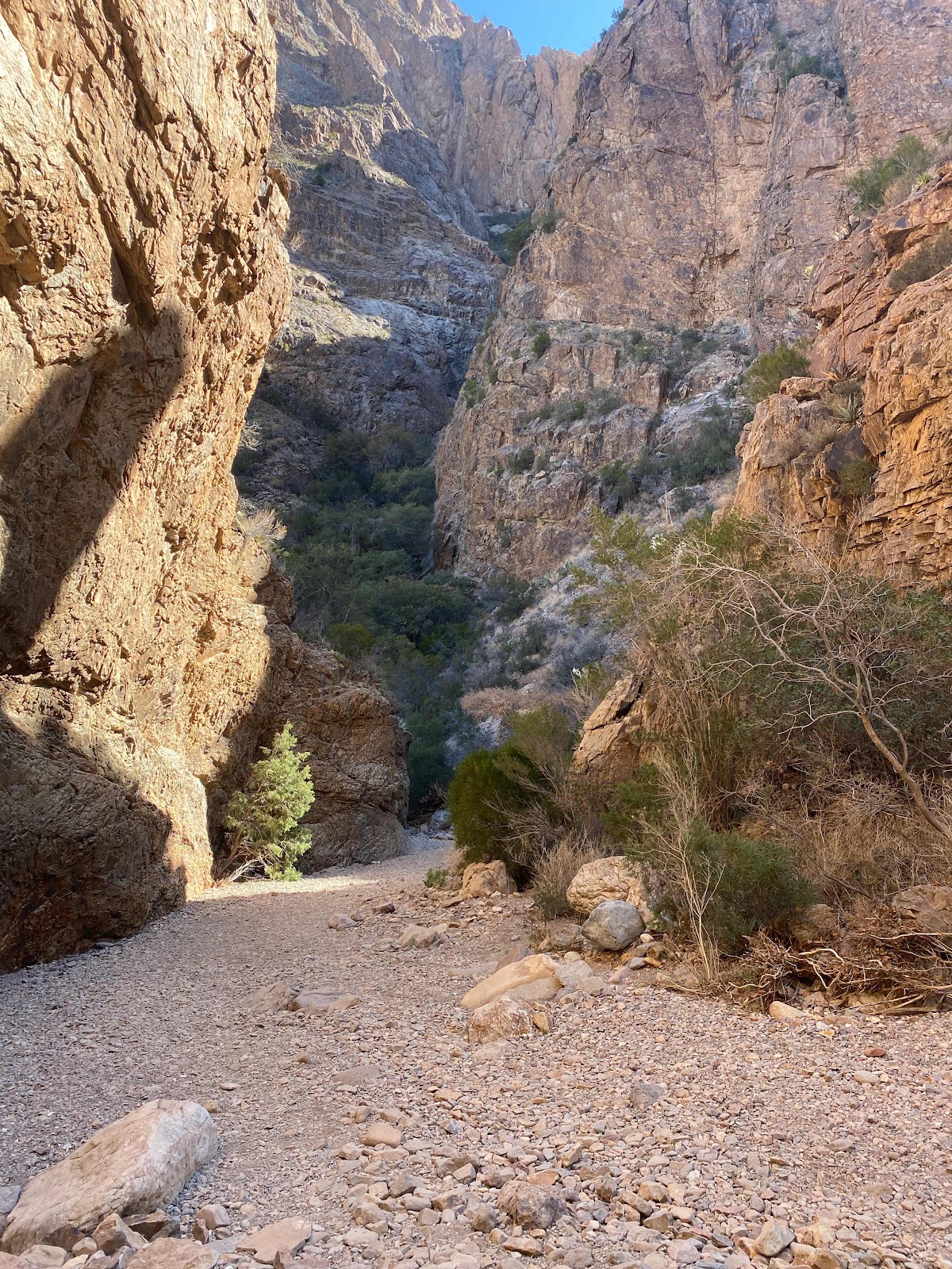
The hike is down the canyon to a slot canyon


This hike is one of the most popular at the NP and you will encounter many others on the trail.


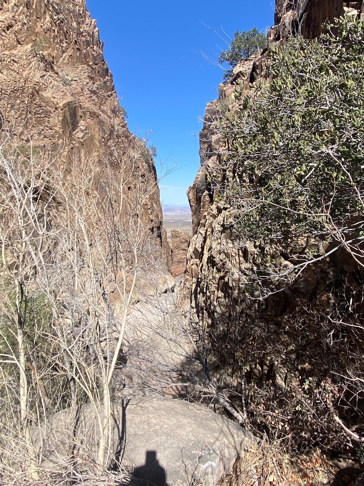
At the viewpoint of the hike you will see the window in the slot canyon.  


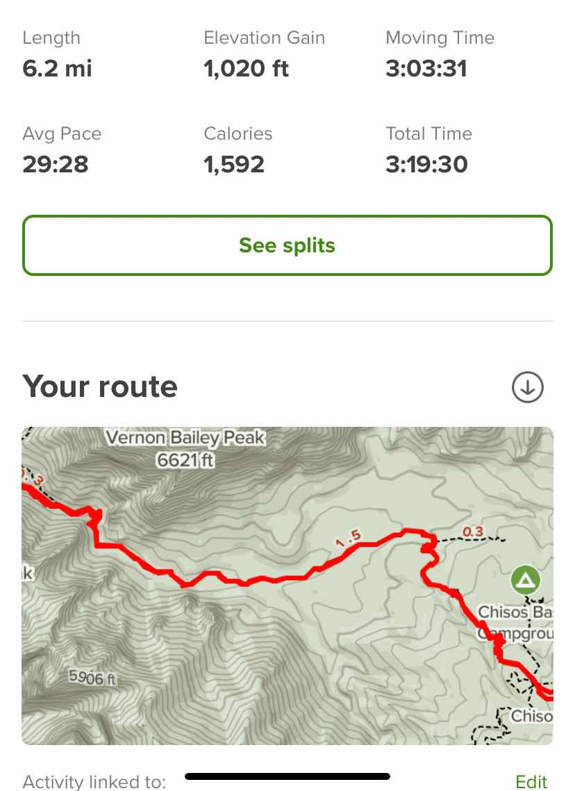
Above is my hike as captured on the AllTrails App.  Please not that my hike was at least 1 mile longer having parked at the lodge parking lot.  After the hike I did learn that there is another parking lot for the hike down by the adjacent campground, saving sone elevation too.  Bring plenty of water and a snack as this is a 6 mile hike at 1000 ft elevation and 3 hours.  Be prepared.


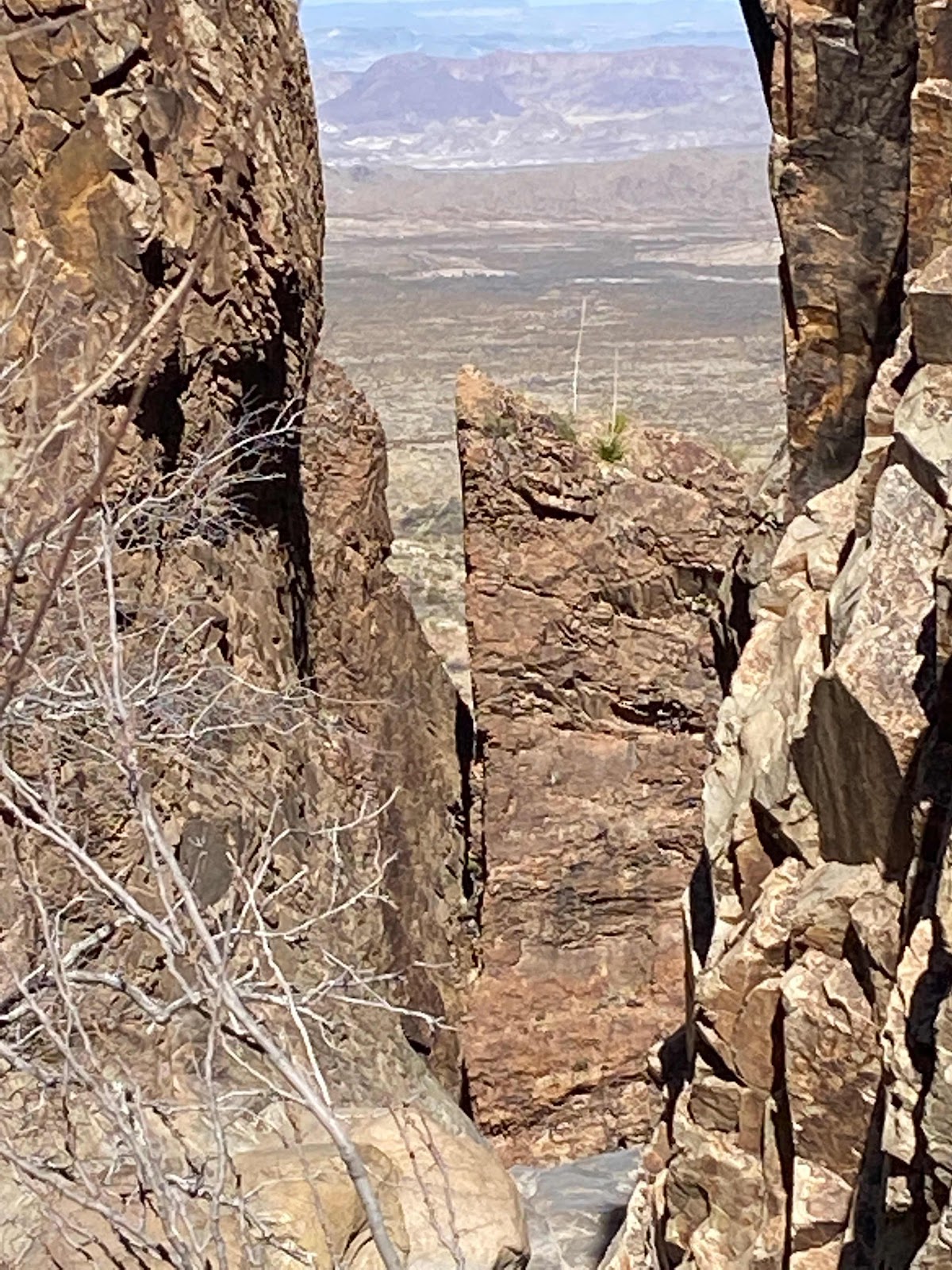
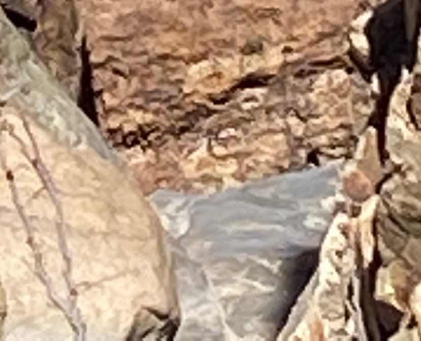
In case you didn’t see the hole under the rock in the slot canyon, this is the closeup of that hole.

Ensure you arrive early and try to finish by noon as it can get very hot in the basin.

Brent

macaloney@hotmail.com
My First Visit To Big Bend National Park

Oh how I wanted to go to Big Bend National Park over my 8 travel years, but on the way out west in January it is too cold there.  I usually go to Utah as temperatures rise before heading home in March, but this year with less than great weather and gas prices being very high, I decided to head home through Texas saving the extra miles of travel and higher costs..  One year in my Prius Travels I did plan to go to Big Bend NP on way home, but due to lack of reservations at Big Bend NP campgrounds, I passed going. 

This year it was different as although Big Bend NP online camping was booked for months I was able to be better prepared to find a place to stay outside of the national park, allowing me to visit 2 full days.


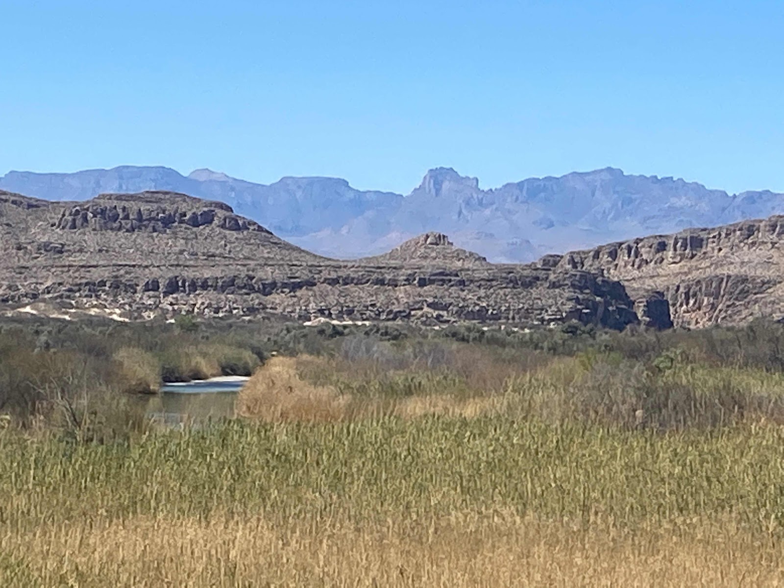
Above: Down along the border with Mexico on the right on the plateau (right). Here in the southwest of the NP the Rio Grande River follows along this plateau that is on the Mexico side.


Above: This cut in the plateau is where the Rio Grande comes through.  To the right is USA and left Mexico. There is a hike into this cut but it was crowded and I decided not to try hiking it.  It was spring break and the park and parking lots were very full.


There are many miles of river on the south side of the park.  I spoke to a man who tried to drive this road along the river from one end of the park to the other and with his jeep he found it too difficult so I didn’t bother with my truck camper combination.

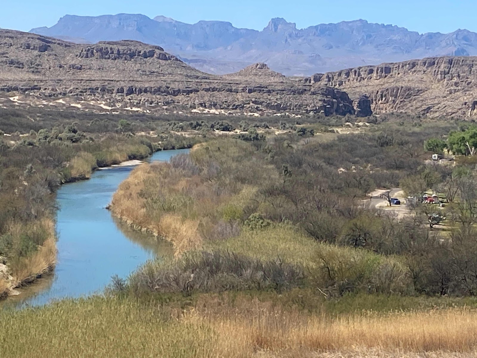
The above picture of the river is from the southeast side.


Here from a overlook on a trail at the southeast end of the park I found the best view of the Rio Grand River.


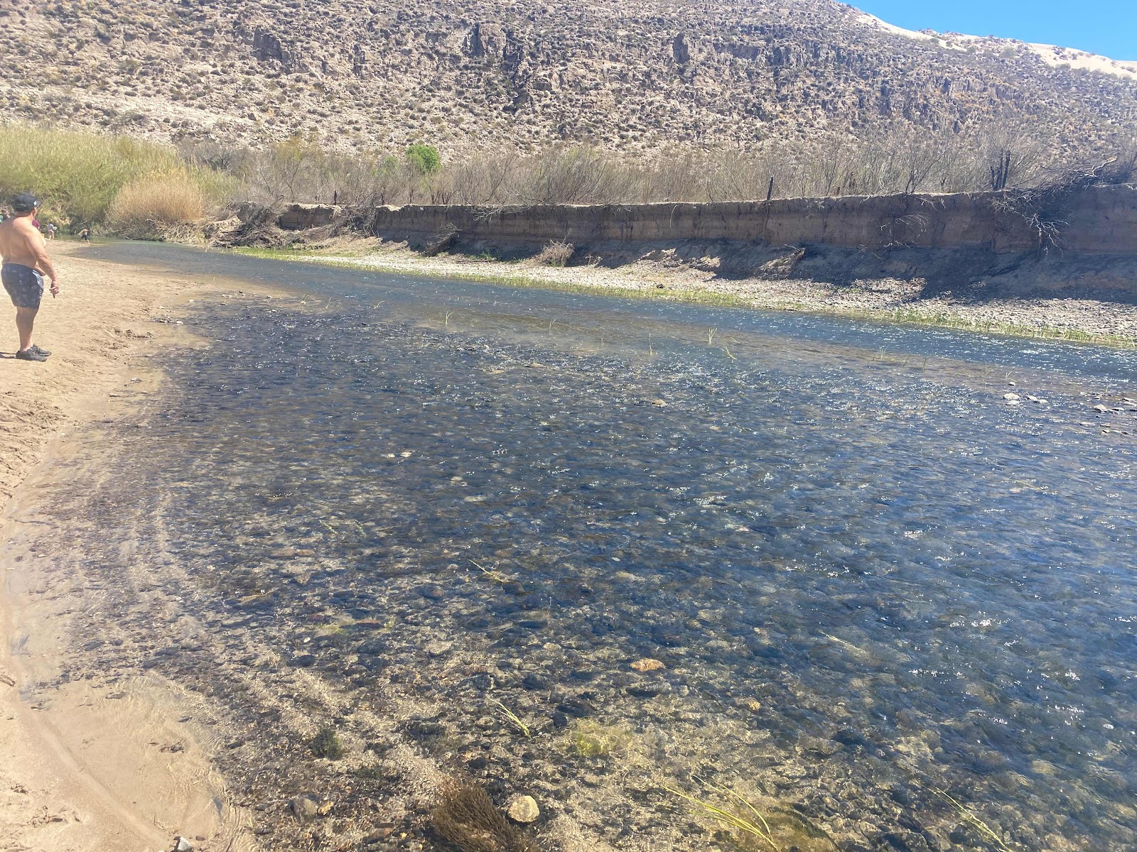
I walked down to the river.  To the right is Mexico 


In the picture above if you look closely you will find a woman who looked like she walked over to Mexico to talk with a mexican on the other side.  The river is not very deep.


Above is a picture showing where I took the pictures of the river in the southeast portion of the NP.

Big Bend NP is not the most beautiful this time of year but I’m told it’s much nicer when the flowers bloom.  I’m glad I went and toured the park.  It’s not a park I would necessarily want to come back to soon as there is not a lot to see.  There a number of hikes that look like they would be fun but only did one hike during this visit.

See my separate post on my hike at the Big Bend National Park.

Brent

macaliney@hotmail.com
Saturday, April 2, 2022

Chiricahua National Monument - Echo Canyon Loop Hike

I haven visited Chiricahua National Monument in a number of years and since I hadn’t fully explored it due to number of people and limited parking back then I figured I would try it again.

Parking at visitor center and trailheads are small and if you want to hike show up early.  


I drove to the furthest point up in the mountains and got some early morning views.  I then moved over to the Echo Canyon Trailhead, that is close to the end of the park road and still up high.


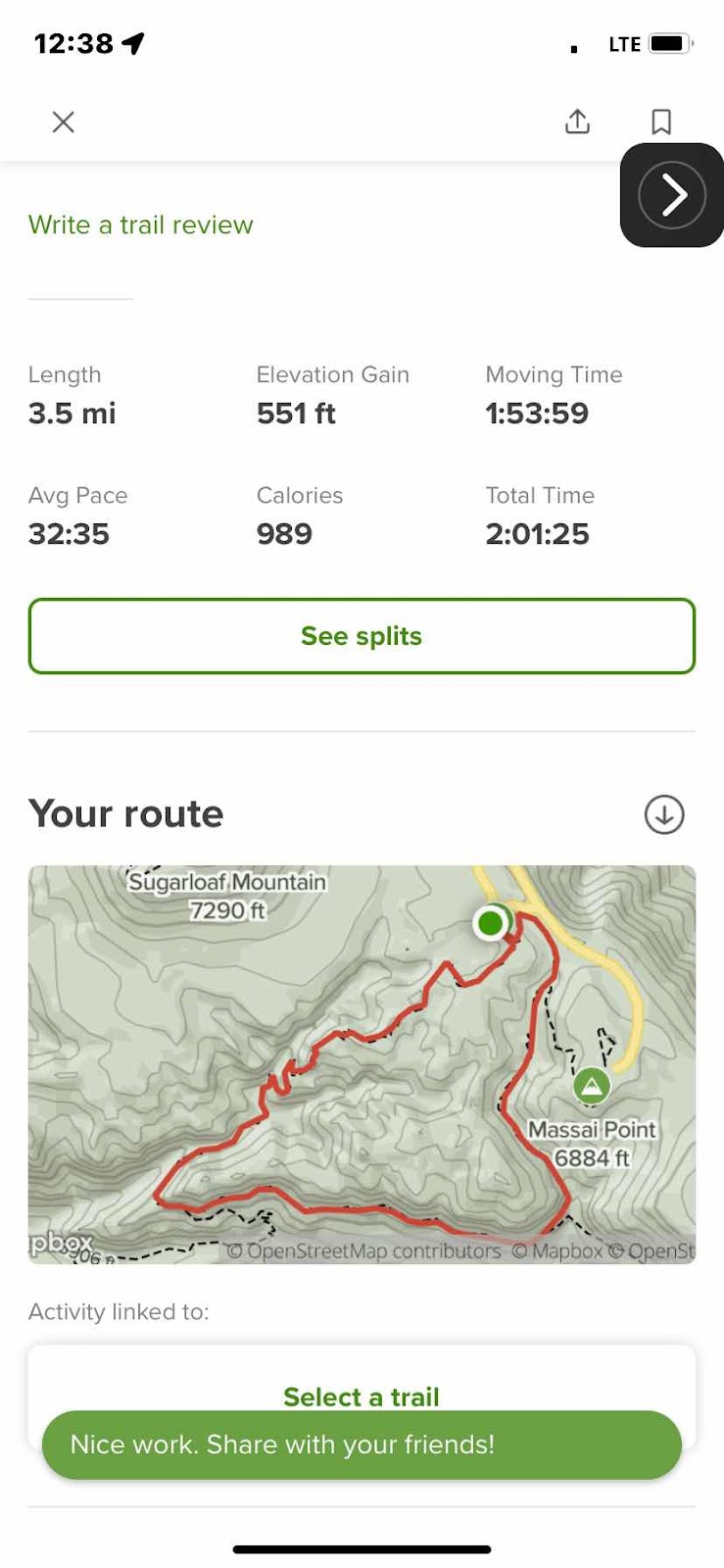
(Above: screen capture of my Echo Canyon Loop Hike from AllTrails App)

From the Echo Canyon Trailhead I set out on the Echo Canyon Loop Trail.  Above picture is my hike.  It is suggested that you hike counter clockwise, so I did.


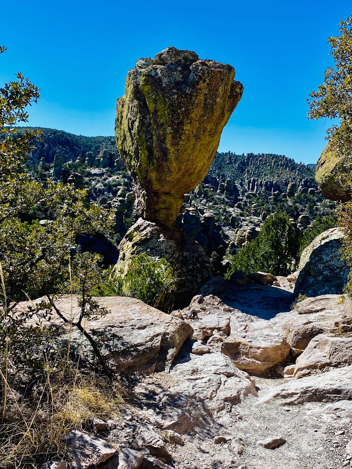
The hike involves going down into the canyon and passing many interesting rock formations.


On the way down the trail takes you through the massive rock formations.


There are plenty of places to stop and if you don’t have time for the full loop trail just walk counter clockwise for a 1/4  mile and return to see some of the formations. The first 1/4 mile does not drop in elevation much counter clockwise.


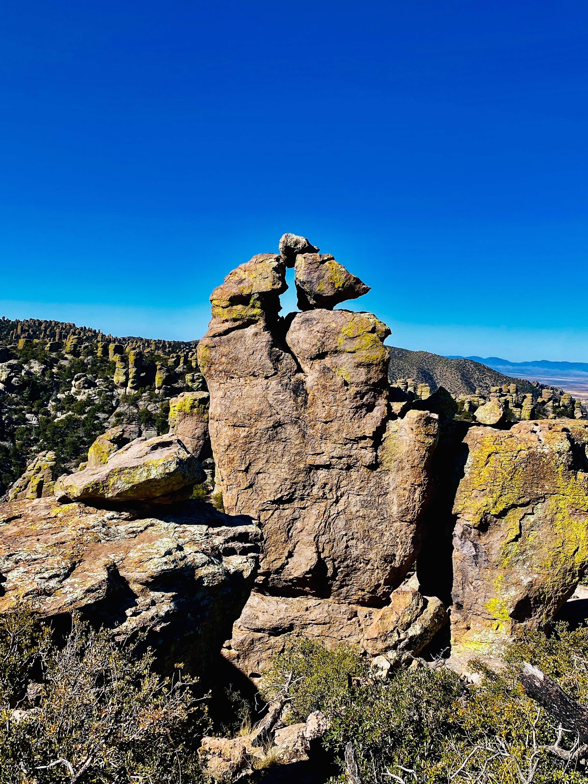
As shown above the hike is down through the cracks between the stones.


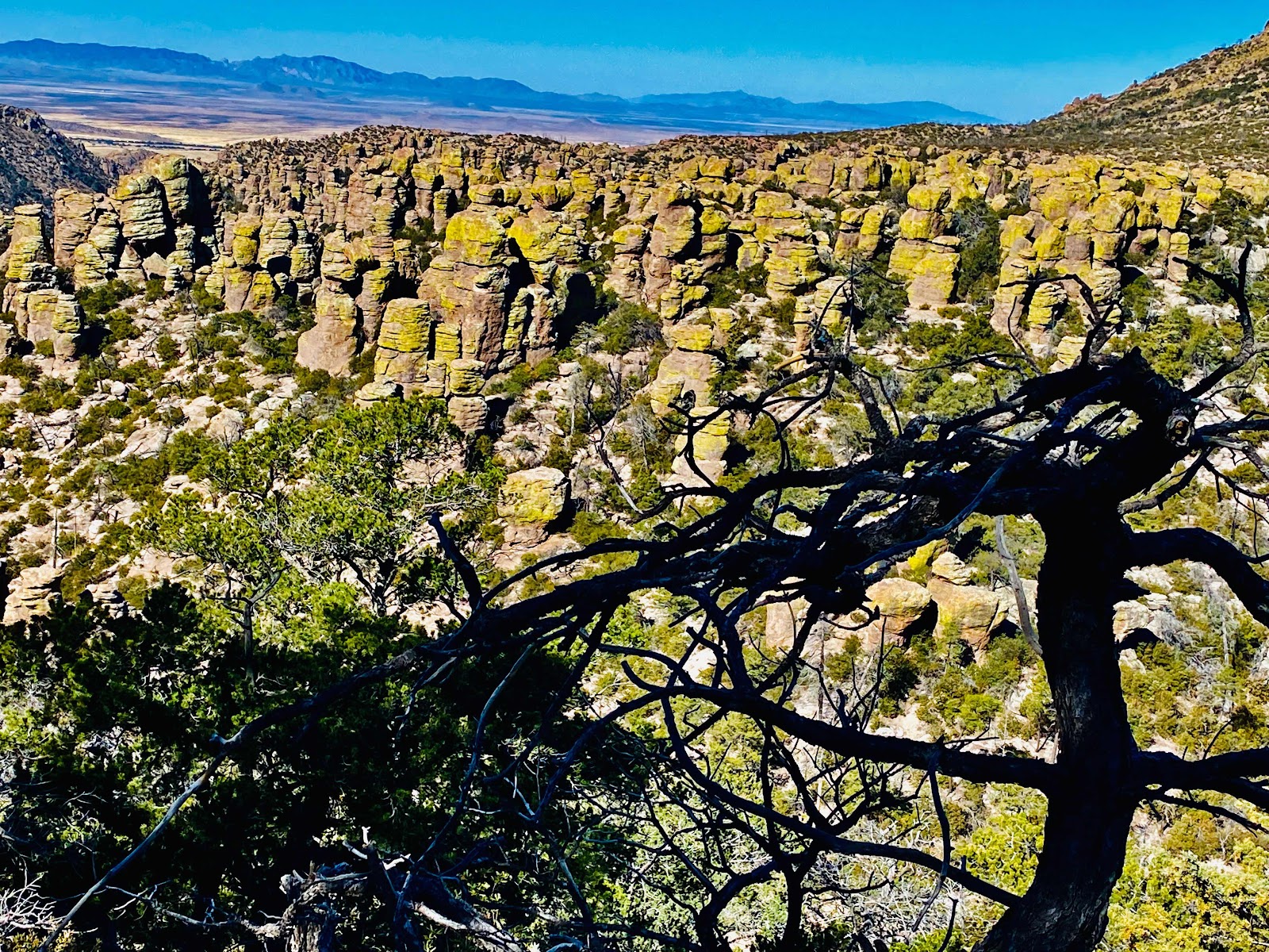
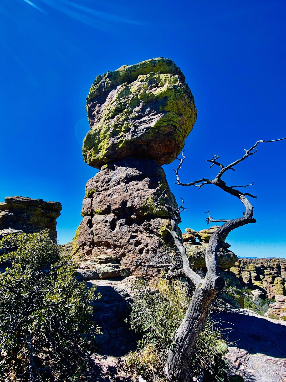
In the picture above the tree helped make this shot.


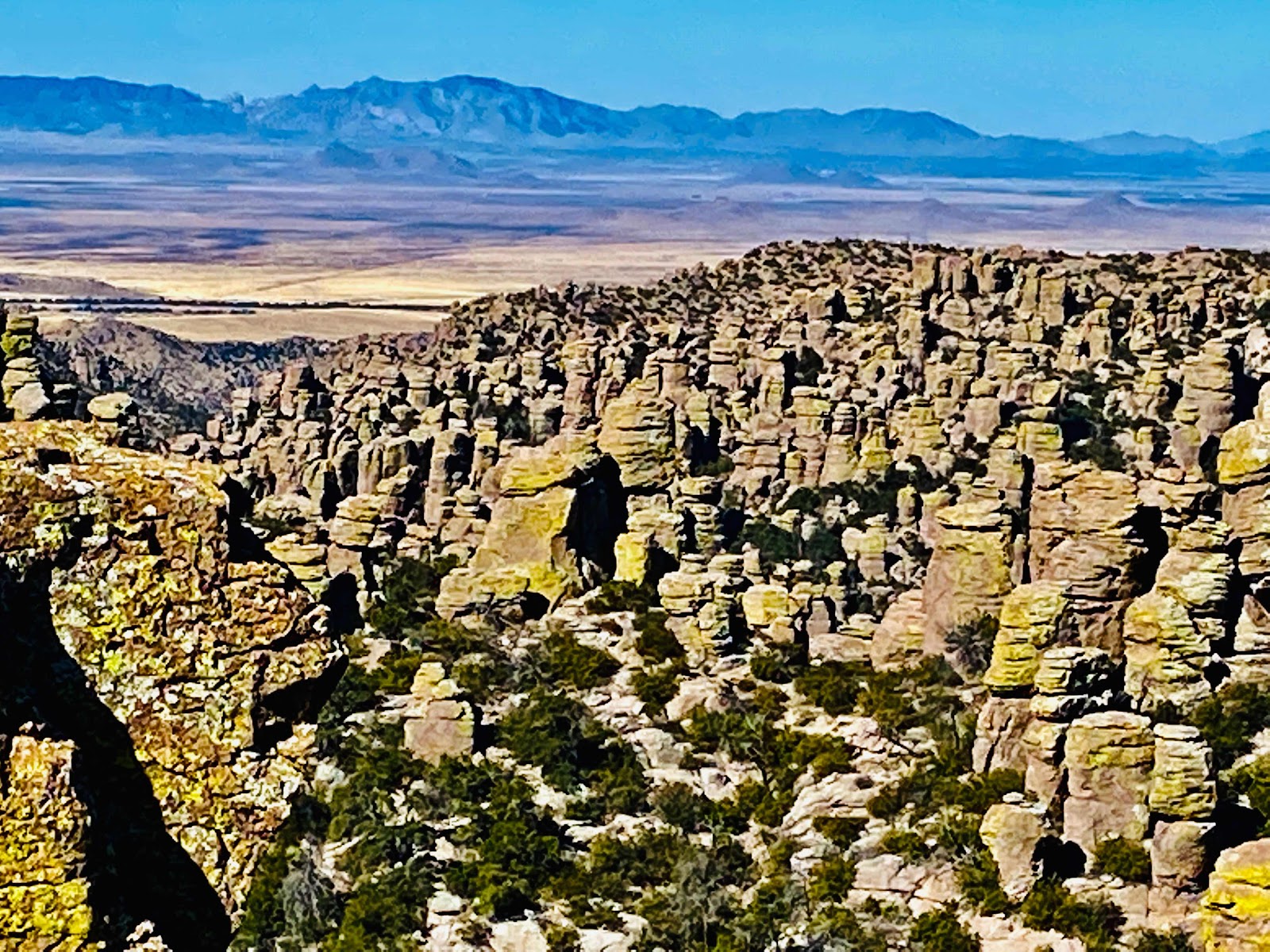
Lower in the canyon you are now looking up at the formations.


At the bottom of the canyon you meet up with the longer trail to the visitor center before making you way back out of the canyon up to the parking lot.

It was a fun hike and it’s a long continuous climb up out of the canyon.  There are plenty of rocs to sit on a rock for a rest if needed and drink some water you brought with you. I bring 2 liters at least on a like such as this.

Happy hiking

Brent

macaloney@hotmail.com